World
6.7 magnitude earthquake shakes Indonesia's Sulawesi island, damages reported

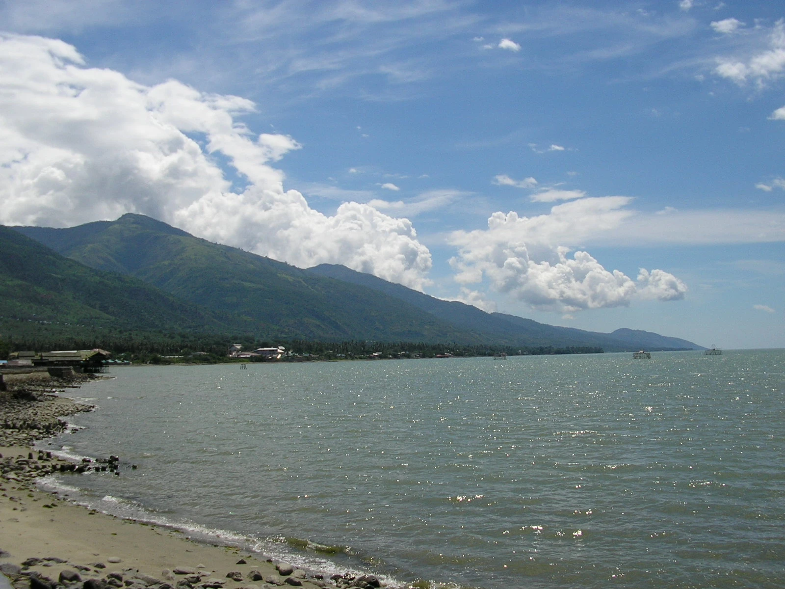
A magnitude 6.7 earthquake shook Indonesia’s Sulawesi island and left residents in Palu spilling into open spaces as aftershocks followed the initial jolt. The shaking lasted more than a minute in the provincial capital, a city of about 400,000 people, underscoring how quickly a familiar seismic threat can turn into an evacuation drill for hospitals, bridges and neighborhoods.
The quake struck at 10:27:44 a.m. WIB on June 16, 2026, with the U.S. Geological Survey placing the epicenter about 43 to 46 kilometers east-southeast of Palu at a depth of 10 kilometers. Indonesia’s Meteorology, Climatology, and Geophysics Agency said the epicenter was about 42 kilometers southeast of the city and that the quake did not pose a tsunami risk. Early monitoring from the agency did not show aftershock activity by 10:46 a.m. WIB, though later reports described strong follow-on tremors, including one measured at magnitude 5.2.
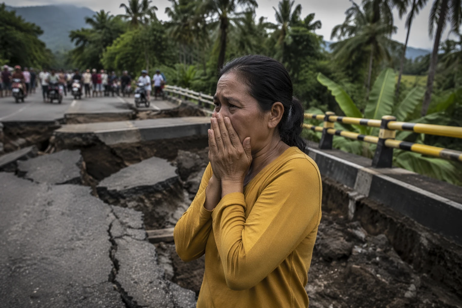
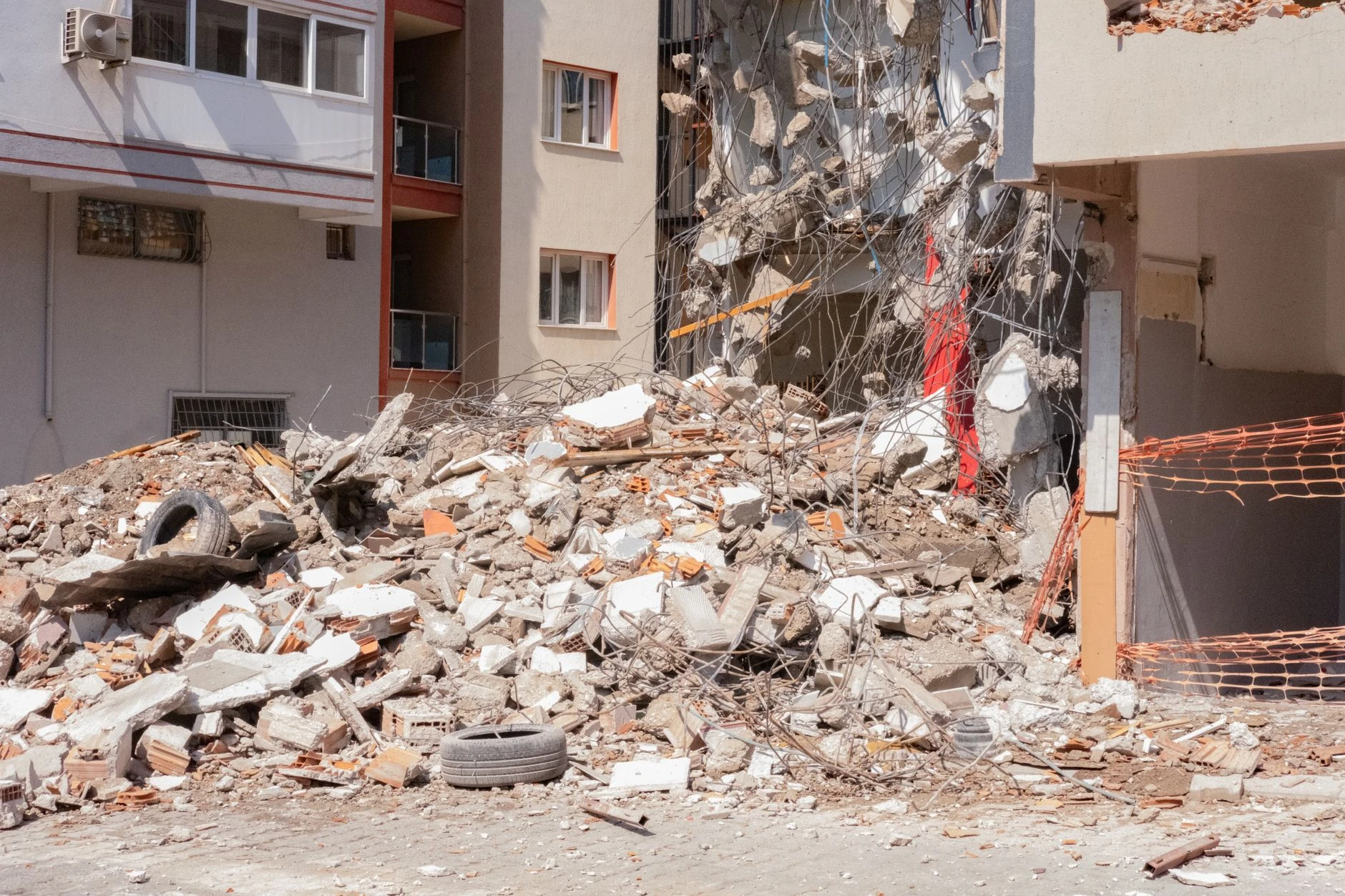
Damage was scattered but real. Hospitals evacuated patients, including some on IV drips, outside as a precaution, while residents gathered in open areas and stayed there amid continuing tremors. Local reports said homes, public facilities and infrastructure were affected across Palu, Parigi Moutong, Sigi, Donggala and nearby areas. In Parigi Moutong Regency, at least two homes suffered minor damage.

Authorities also moved quickly to inspect critical infrastructure. Palu III Bridge was temporarily closed after cracks were reportedly found, and emergency personnel blocked access while technical teams examined the structure. Central Sulawesi Governor Anwar Hafid ordered government agencies, medical workers and disaster response teams to act fast, help affected residents and make sure basic needs were met.
The earthquake again placed Palu in the shadow of the disaster history that has shaped planning across Sulawesi. In 2018, a magnitude 7.5 quake and tsunami killed more than 4,000 people in and around Palu and triggered devastating liquefaction. In 2021, a quake near Mamuju on the same island killed at least 100 people and forced thousands to sleep outdoors because they feared more shaking. Tuesday’s tremor was smaller, but the reaction it triggered showed how deeply those tragedies still shape the region’s readiness.
Sources
- [1]abcnews.com
- [2]earthquake.usgs.gov
- [3]en.tempo.co
- [4]jakartaglobe.id
- [5]ngdc.noaa.gov
- [6]bing.com