World
Australia warns strong El Niño underway in tropical Pacific
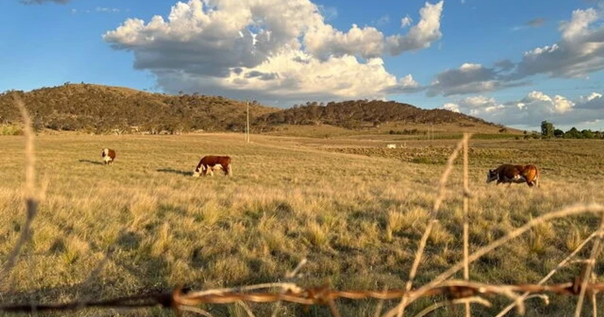
Australia’s weather bureau said El Niño conditions were underway in the tropical Pacific, and it warned that the warming pattern could intensify into a strong to very strong event. The declaration put households, farmers, utilities and emergency planners on alert for a season shaped by hotter temperatures, tighter water supplies and a higher risk of fire in parts of the country.
The Bureau of Meteorology said the atmospheric signals were lining up with El Niño, including trade winds, pressure patterns and cloud formation over the central tropical Pacific. Forecasts pointed to a strong event because of the extent of warming there, with the bureau saying El Niño often brings drier conditions to central and eastern Australia in winter and spring and can influence weather into early summer.
Its June 10 long-range forecast already pointed to below-average rainfall from July through September across parts of southern and eastern Australia, alongside above-average temperatures across much of the country. For farmers, that combination raises the risk of heat stress, weaker crop yields and tighter feed supplies. For water managers and power networks, it means greater pressure on reservoirs, irrigation systems and electricity demand as temperatures rise and rainfall falls short.
The warning matters well beyond Australia. The World Meteorological Organization said on June 2 that there was an 80 percent probability El Niño conditions would emerge between June and August 2026, with above-average temperatures expected nearly everywhere during that period. NOAA’s Climate Prediction Center said on June 11 that El Niño conditions were present and expected to strengthen into the Northern Hemisphere winter of 2026-27, reporting a weekly Niño-3.4 index of +0.7C and a Niño-1+2 index of +2.1C.
Forecasters have also been weighing how quickly the pattern would lock in. The Bureau of Meteorology said in April that some models suggested El Niño thresholds could be reached as early as May, while others did not point to that shift until July. That uncertainty has sharpened attention on the coming months, when winter and spring usually bring the strongest Australian impacts from El Niño.

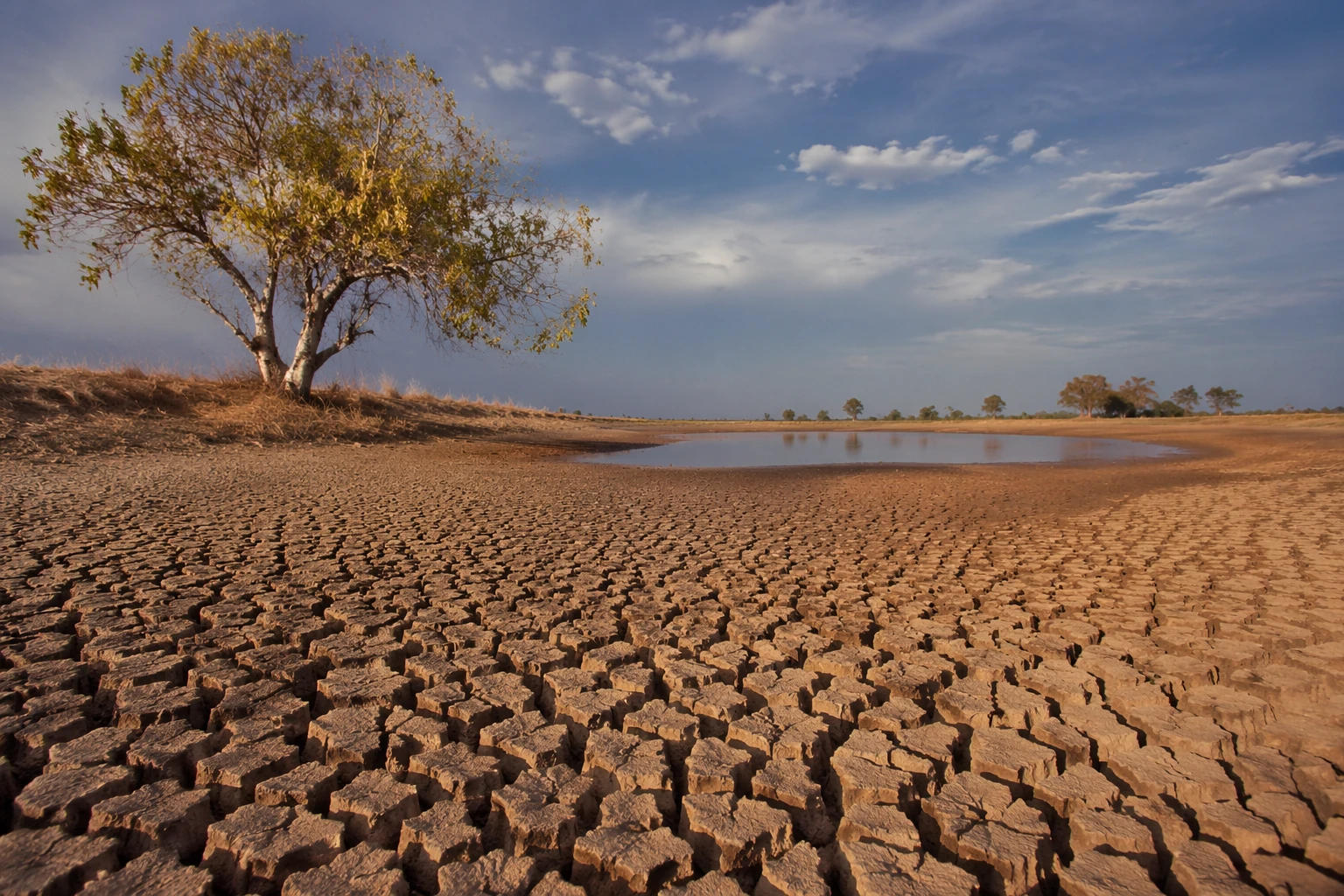
The last major comparison is the 2015-2016 event, one of the strongest on record, which brought widespread drought in parts of Asia and reduced grain and oilseed output. That history helps explain why insurers, commodity traders and disaster agencies are treating the new warning as more than a climate headline. For Australia, it is an early signal that the season ahead could be hotter, drier and more volatile than usual.
Sources
- [1]usnews.com
- [2]bom.gov.au
- [3]wmo.int
- [4]noaa.gov
- [5]cpc.ncep.noaa.gov