US News
Could Southern California face another Hilary-like hurricane threat?
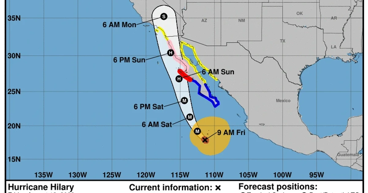
Hurricane Hilary forced Southern California into uncharted territory in August 2023, when the National Hurricane Center and NOAA issued the region’s first-ever tropical storm watch. Hilary reached Category 4 strength offshore of southwestern Mexico before weakening and making landfall as a tropical storm in Baja California.
NOAA’s Los Angeles/Oxnard office said Hilary affected Southern California on August 20-21, 2023, with wind gusts generally in the 40-50 mph range. Gusts reached 60-70 mph in the San Gabriel Mountains, and the strongest measured burst was 87 mph at Magic Mountain Truck Trail. NOAA Climate.gov said Hilary brought Southern California its first-ever tropical storm watch, a milestone that underscored how far inland Pacific tropical systems can still reach in the right setup.
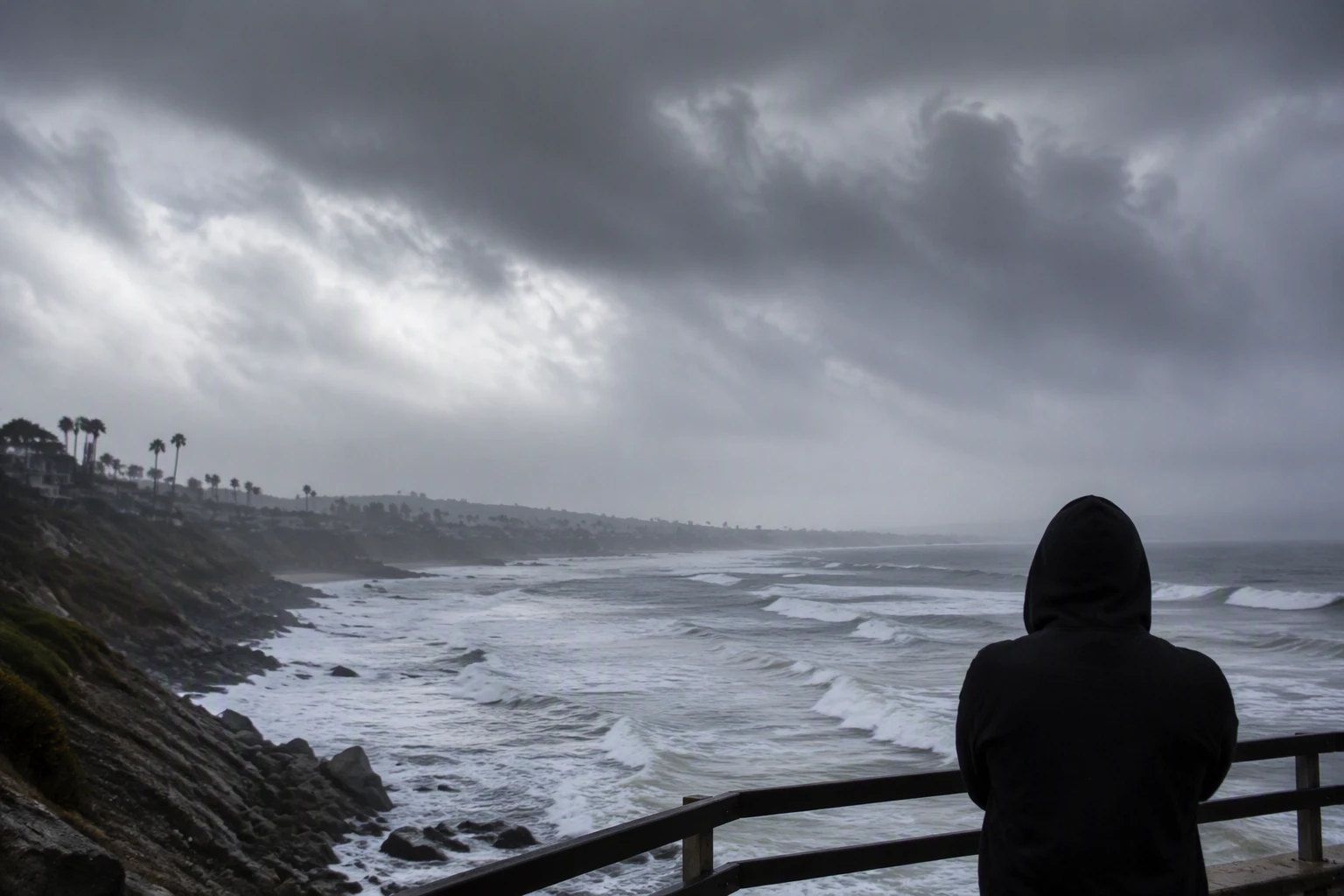
The broader risk depends in part on El Niño, which NOAA said had formed and was expected to strengthen in 2023. The Climate Prediction Center says El Niño and La Niña are phases of the ENSO cycle that can shift storm tracks and precipitation patterns across the United States. In El Niño years, the odds of tropical activity often rise in the eastern and central Pacific while the Atlantic tends to run quieter than usual, though not storm-free. That puts California, Hawaii and Mexico closer to the bull’s-eye for Pacific hurricanes when ocean conditions line up.
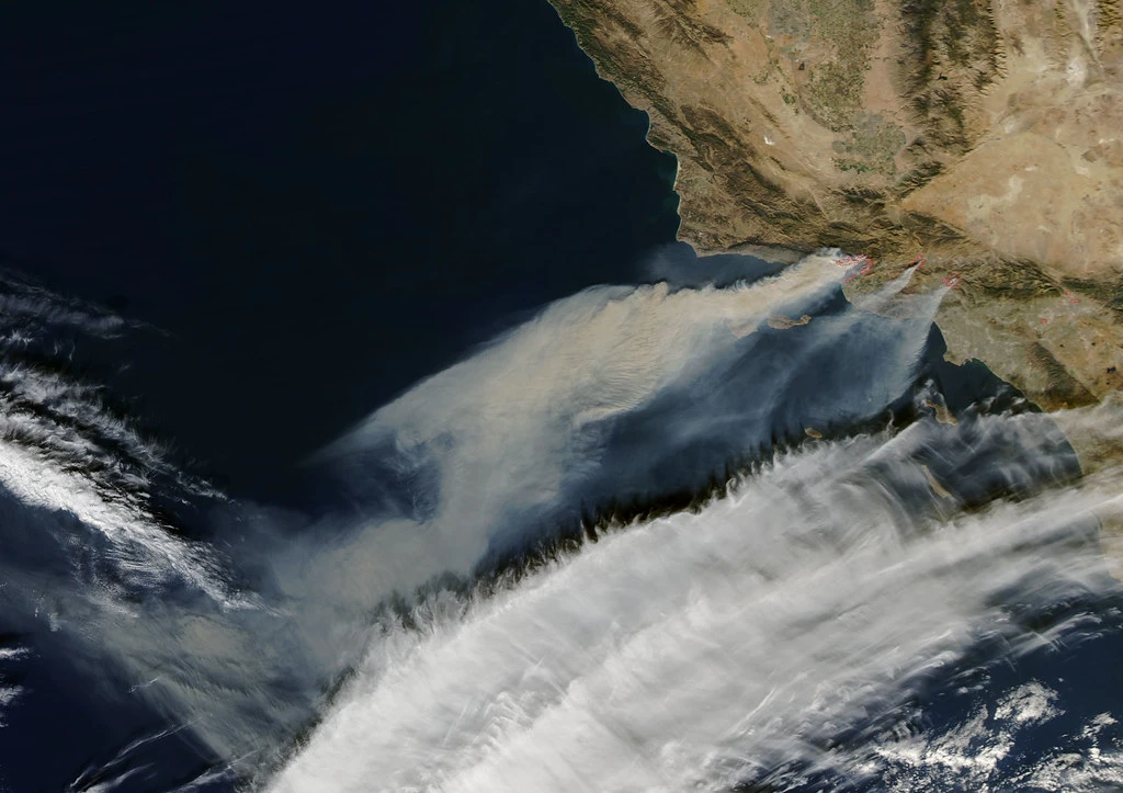
Hilary illustrated the danger of reading that pattern too simply. NOAA predicted a near- or above-normal 2023 central Pacific hurricane season, yet in 2024 the agency forecast an above-normal Atlantic hurricane season even as El Niño was waning, showing that other climate factors can override the classic signal. The National Hurricane Center’s tropical cyclone report covers Hilary from August 16-20, 2023, the period when the storm rapidly intensified to Category 4 before its final landfall in Baja California.
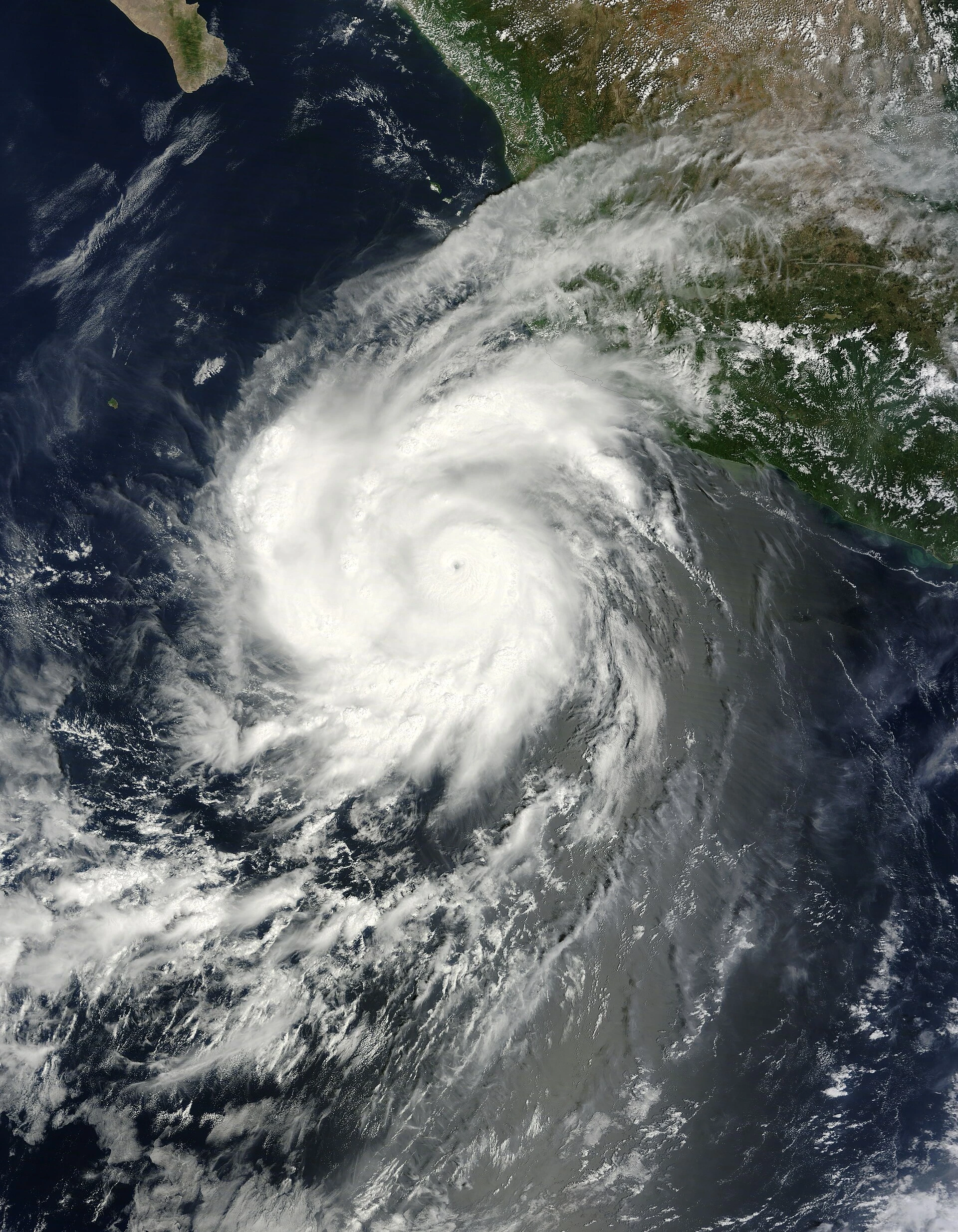
For emergency planners and insurers, the lesson is not that Southern California faces hurricanes every year. It is that one landfalling system can trigger flooding, debris flows and costly response disruptions far from the Atlantic coast. Hilary already gave the region a rare but damaging preview of what a Pacific tropical cyclone can do, and NOAA’s guidance on ENSO suggests the threat map is broader than many assumptions still allow.
Sources
- [1]nytimes.com
- [2]weather.gov
- [3]nhc.noaa.gov
- [4]climate.gov
- [5]cw3e.ucsd.edu
- [6]noaa.gov
- [7]cpc.ncep.noaa.gov
- [8]aoml.noaa.gov