Technology
FireSat satellites begin regular wildfire detection from space
FireSat’s first three operational satellites launched on July 7, 2026, and linked with ground operators within 120 minutes of deployment, moving the project from demonstration to regular wildfire detection from space. The handoff matters most in the first minutes of a blaze, when faster warning can sharpen evacuation timing, speed the dispatch of crews and aircraft, and help insurers and emergency managers gauge risk in regions where fires can turn catastrophic in hours.
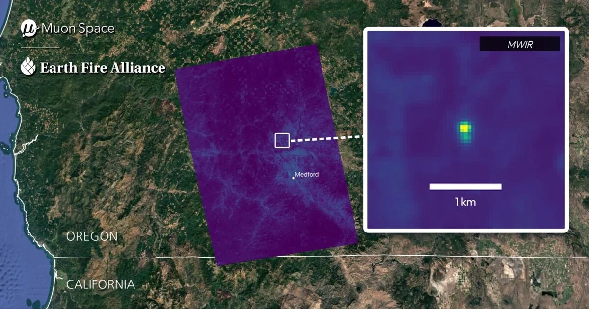
The satellites are part of a collaboration among Muon Space, Earth Fire Alliance and Google Research. Earth Fire Alliance has framed FireSat as a purpose-built constellation for wildfire detection and monitoring using high-resolution infrared data, while Google Research says the system compares a current image with the prior thousand images of the same location and folds in local weather and other factors to determine whether a fire is present. That design is meant to catch small, cool fires that older orbital systems can miss, especially in the Western U.S. and other fire-prone landscapes.
Muon Space launched the FireSat protoflight on March 14, 2025, aboard SpaceX’s Transporter-13 mission from Vandenberg Space Force Base in California. Muon released first-light images on June 26, 2025, and Earth Fire Alliance followed with the first wildfire images from the protoflight on July 23, 2025, showing the six-channel multispectral infrared instrument working as designed. The prototype sensor was designed and built in-house by Muon Space.
The operational rollout is being funded in part by the Bezos Earth Fund, which committed $26 million to launch and operate the first three satellites and described the pledge as the largest single philanthropic grant to wildfire detection to date. Google’s FireSat materials say the first three operational spacecraft were scheduled for summer 2026 and that the full constellation will be deployed in stages. University of Michigan reporting has put the eventual network at 50 satellites, with infrared cameras used to detect and track fires around the globe.
The stakes are not abstract. California’s Camp Fire in 2018 killed 88 people and burned about 240 square miles, becoming the state’s most destructive fire. FireSat’s backers are betting that earlier detection can improve the odds of getting people out sooner, placing firefighters before flames race ahead, and giving utilities, insurers and public agencies a clearer picture of how quickly a small ignition can become a regional disaster.