US News
Flash flooding threat rises across New York City region as storms loom

Flash flooding was most likely Monday across New York City, Long Island, the Hudson Valley and northern New Jersey, where the National Weather Service widened a Moderate Risk for excessive rainfall and kept a Flood Watch in place through late Monday night. Rainfall rates could top 2 inches an hour, especially in urban areas where heavy rain can overwhelm drains and send water pooling quickly on streets and in low spots.
The New York office of the National Weather Service increased confidence in flash flooding as powerful storms moved toward the region. Its forecast called for the heaviest rain to come in multiple waves of low pressure, with the exact corridor of worst flooding still uncertain. The city forecast page listed a Flood Watch until 6:00 a.m. EDT on July 7.
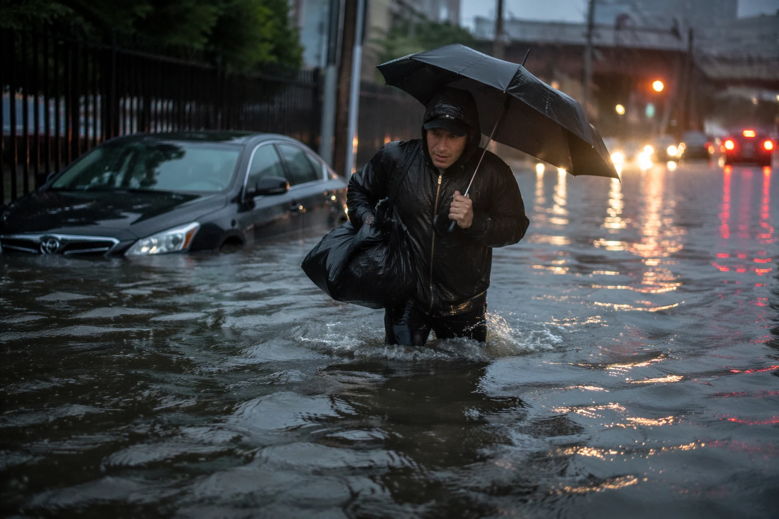
The warning covered parts of southern New York and northern New Jersey, with active alerts already posted for New York City and surrounding areas. That meant the highest-risk window stretched from Monday into Monday night, when repeated downpours could drop enough water fast enough to trigger street flooding, ponding, and dangerous conditions on major travel routes.
Severe thunderstorms in the New York region can bring damaging winds, large hail, tornadoes and flash flooding. June through August is the peak of severe-weather season in the NWS New York area, when warm, humid air and slow-moving storms can produce heavy rainfall.
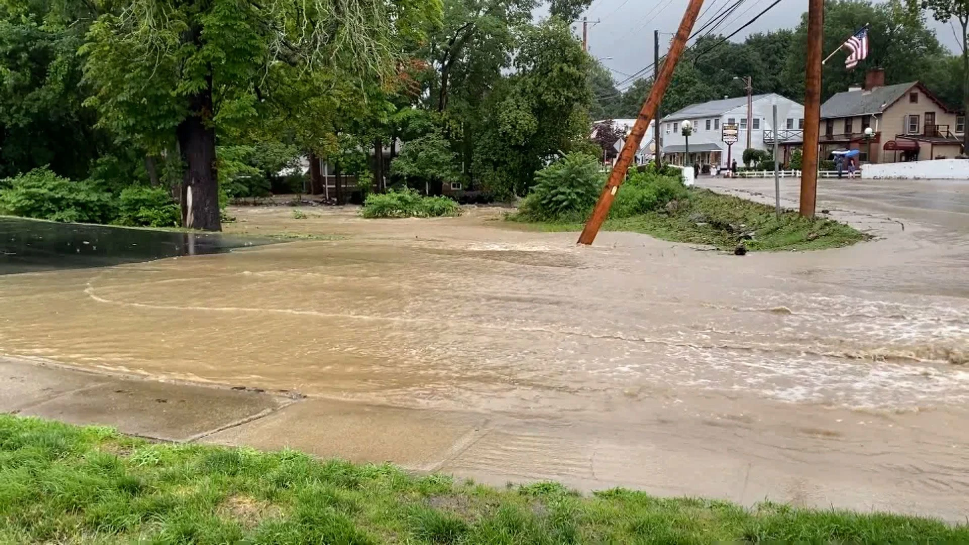
The National Weather Service New York significant weather events archive includes severe thunderstorms and New York City flash flooding on May 20, 2026, followed by severe thunderstorms on June 6.
Sources
- [1]nytimes.com
- [2]forecast.weather.gov
- [3]weather.gov