US News
Flood threat grows as Gulf disturbance targets Texas, Louisiana, Mississippi
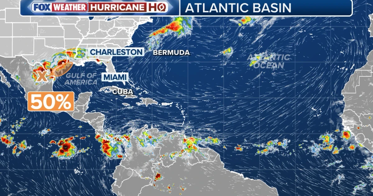
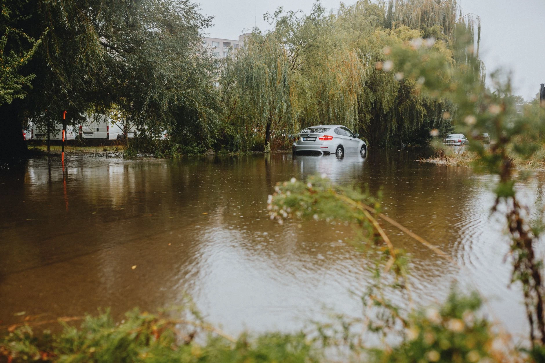
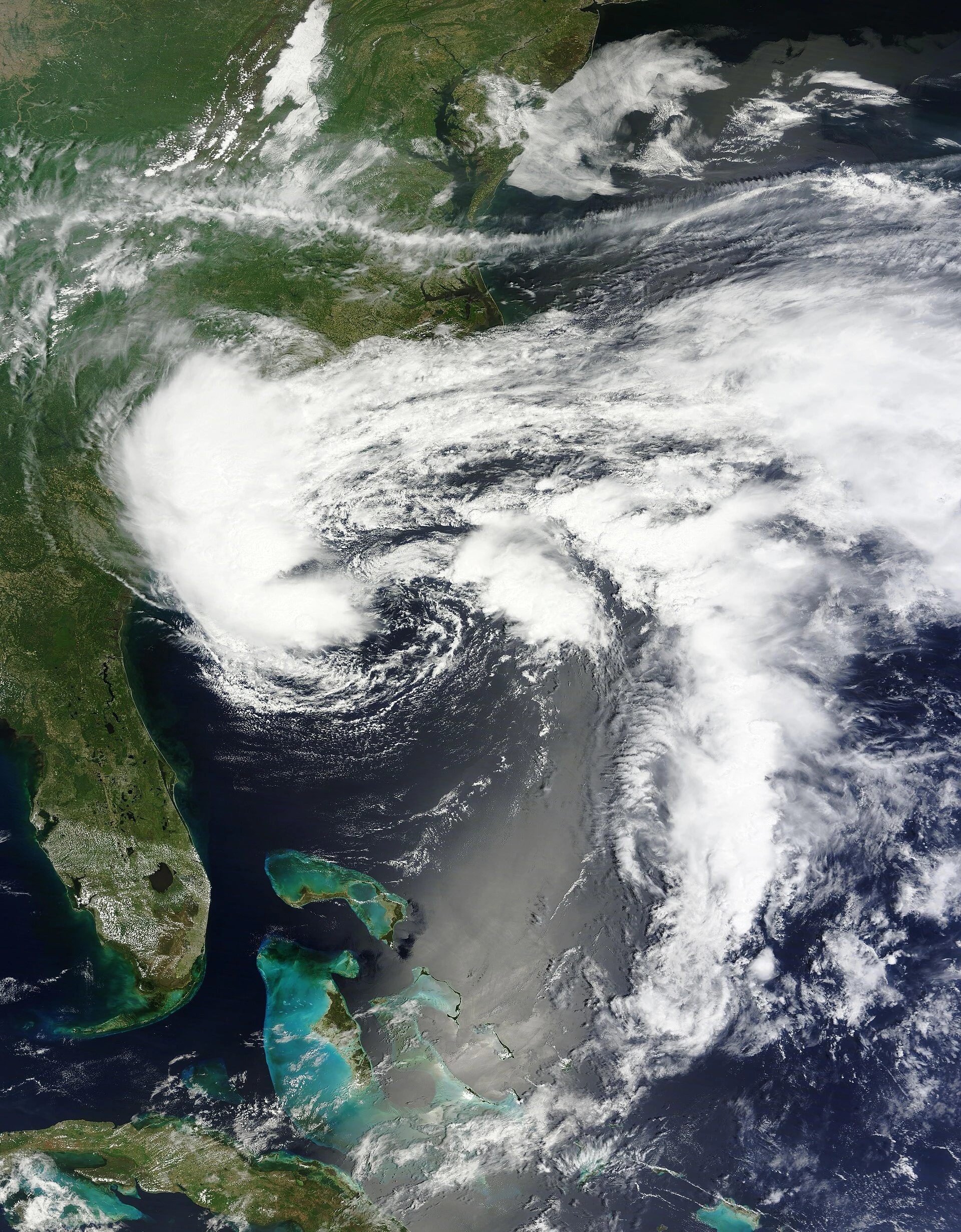
A broad disturbance over the northwestern Gulf of America was raising the risk of dangerous inland flooding across Texas, Louisiana and Mississippi, with forecasters warning that the worst damage could come from slow-moving rain, not wind. The National Hurricane Center identified the system as AL90 and said southern and eastern Texas, Louisiana and Mississippi should prepare for intense rainfall that could trigger widespread, life-threatening flash, urban and river flooding.
The National Weather Service office in New Orleans and Baton Rouge forecast 4 to 6 inches of additional rainfall through 7 p.m. Friday, with some locations possibly topping 10 inches. It also warned of unsettled marine conditions, including wind gusts above 30 knots and open-Gulf waves of 6 to 9 feet, along with minor coastal flooding from Wednesday through Friday. Farther east, the National Weather Service in Mobile and Pensacola said a weak low was expected to emerge over the northwestern Gulf late Tuesday or Wednesday and could become a weak tropical depression or storm Wednesday into Thursday before moving inland across Texas or southwestern Louisiana.
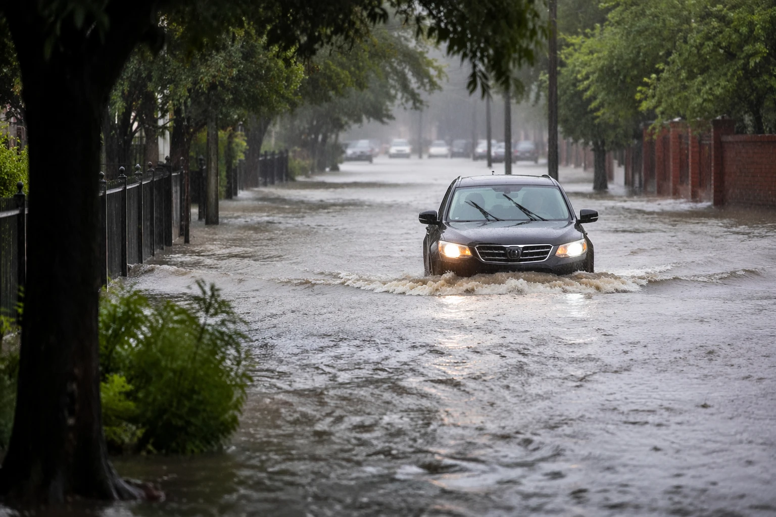
The heaviest concern remained concentrated where the ground is already primed to take on water fast. Forecasters in the Houston area said rainfall rates could exceed 4 inches an hour, with totals of 4 to 7 inches and isolated pockets above 10 inches. Texas Gov. Greg Abbott activated state emergency response resources on June 11 and directed the Texas Division of Emergency Management to stage rescue and medical assets, while urging residents to review emergency plans and check road conditions before roads begin to fail and neighborhoods flood.
The flood threat carried a grim historical echo for Houston and the Texas coast. Tropical Storm Allison in June 2001 dropped 15 to 35 inches of rain in parts of the region, killed 22 people in the Houston area, damaged more than 48,000 homes and flooded more than 70,000 automobiles, making it the costliest tropical storm on record in Texas and the United States. Pensacola-area forecasts also pointed to serious rain potential, with up to 7 inches possible if the disturbance tracked far enough east. NOAA’s National Hurricane Center said there were no tropical cyclones in the Atlantic at the time and noted that NOAA expected a below-normal 2026 Atlantic hurricane season, but the immediate danger for the Gulf Coast was already plain: too much water, too quickly, over ground that had little room left to absorb it.
Sources
- [1]news.google.com
- [2]nhc.noaa.gov
- [3]weather.gov
- [4]thesheffieldpress.com
- [5]usatoday.com
- [6]pnj.com