Science
Genevieve strengthens offshore Mexico, no direct land threat expected
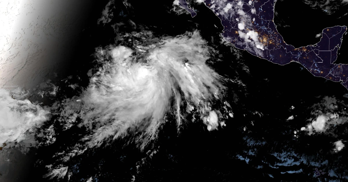
Genevieve strengthened over the Pacific off Mexico on July 26, and forecasters said it was not expected to threaten land directly. The National Hurricane Center placed the storm about 500 miles south-southwest of Manzanillo, Mexico, with maximum sustained winds of 90 mph and forward motion of 17 mph to the west-northwest.
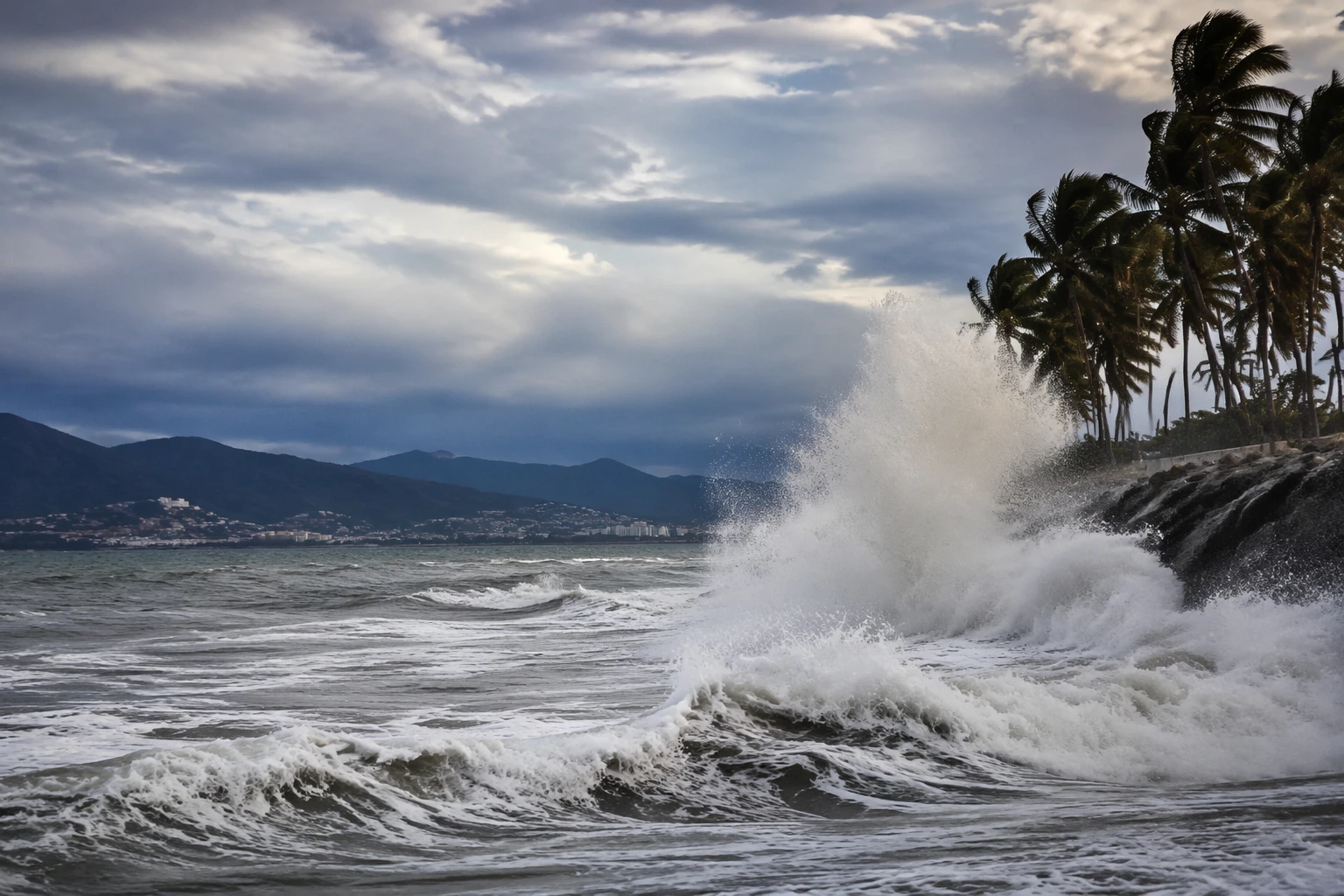
That distance from shore did not make Genevieve irrelevant. Offshore hurricanes can still drive dangerous surf, rip currents and rough marine conditions far from the center, especially along beaches exposed to long-period swells. Coastal officials, fishing crews and shipping operators watch those changes closely because a storm moving roughly parallel to Mexico’s coast can alter travel and commerce without ever coming ashore.
Meteorologists track storms like Genevieve by following how warm ocean water, atmospheric moisture and wind patterns help a low-pressure system organize and strengthen. NOAA satellite imagery showed Genevieve over the eastern Pacific on Friday, July 24, and the National Hurricane Center issued public advisories, forecast discussions and wind-speed probability products on July 24 and July 26 as the system evolved. Those updates are designed to show not just where the center may go, but how its winds and rain bands may expand or weaken along the way.
Two days earlier, FOX Weather said Genevieve had formed in the Eastern Pacific and was expected to rapidly intensify, with meteorologist Jane Minar describing it as a “major hurricane inbound.” That coverage also said Genevieve could become the first major hurricane of the 2026 Eastern Pacific hurricane season. Nearby Hurricane Fausto was also in the basin, holding Category 2 strength, a reminder that one storm can be only part of a larger Pacific setup.
The practical distinction is simple: a strong hurricane is not automatically a direct land threat. Genevieve’s strength made it a storm to follow closely, but its track kept the main hazard offshore, where swell, rip current risk and marine disruption can still spread well beyond the center.
Sources
- [1]apnews.com
- [2]wsls.com
- [3]nhc.noaa.gov
- [4]youtube.com
- [5]wral.com
- [6]cw39.com