US News
Heat dome and drought drive wildfire risk across West and Plains
The National Weather Service Climate Prediction Center's Friday outlook puts a moderate-risk zone for the Northern and Central Plains on July 19 and 20 as an evolving pattern of mid-level high pressure raises the odds of extreme heat across parts of the northwestern and northcentral contiguous United States. The same outlook flagged rapid-onset drought risk across the Northern Plains, and a heat dome building over the West could push Billings, Rapid City and Bismarck into the mid-100s and threaten daily records.
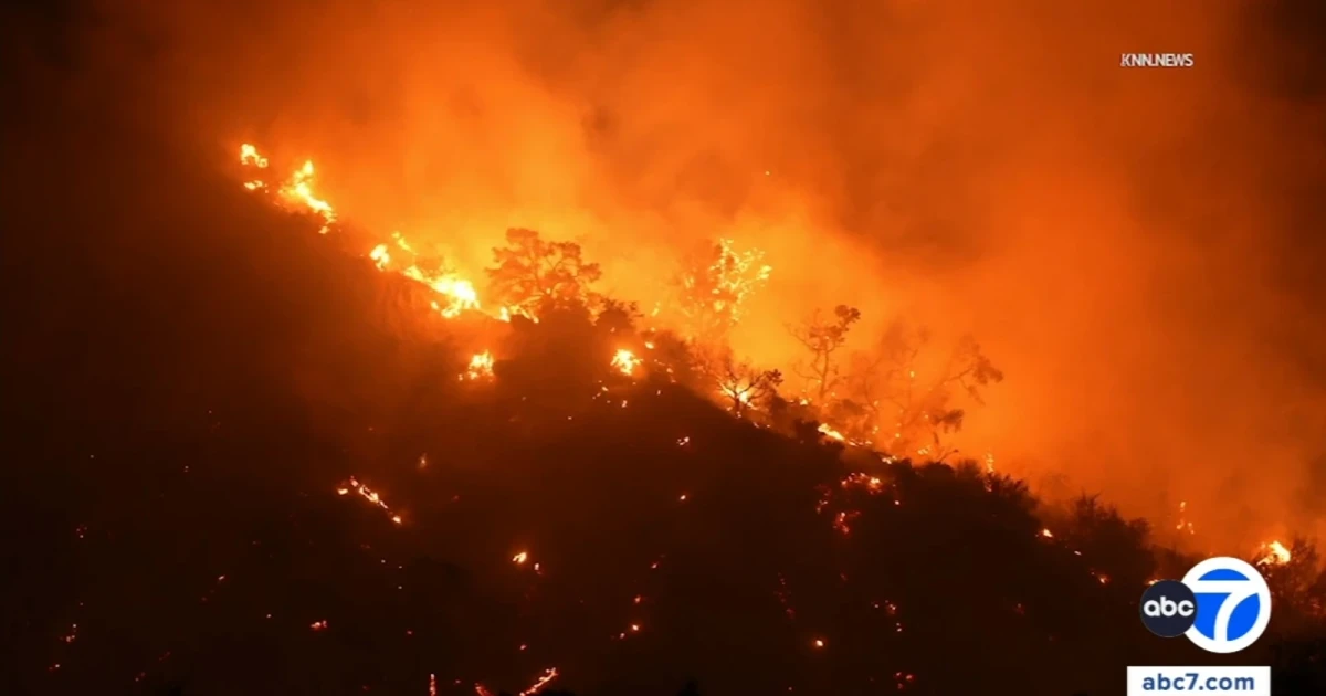
The Summit Fire broke out about 12:50 p.m. Friday near Jesus Canyon Road East and Avenue Z in Llano, close to the Los Angeles County-San Bernardino County line, and CAL FIRE said the blaze started at 1:29 p.m. By late Friday, it had burned 2,677 acres and was 0% contained.
The fire was operating under unified command with the Los Angeles County Fire Department, San Bernardino County Fire and the U.S. Forest Service Angeles National Forest. The blaze began in a sparsely populated area near Llano and Piñon Hills off Highway 138 before pushing into the Angeles National Forest, where steep, rugged terrain made access difficult.
Nearly 600 people were under evacuation orders or warnings. An evacuation shelter opened at the Antelope Valley Family YMCA in Lancaster, and a small-animal shelter opened at the Los Angeles County Animal Care Center in Palmdale. Children and counselors were safely evacuated from the AYF Camp south of the fire.
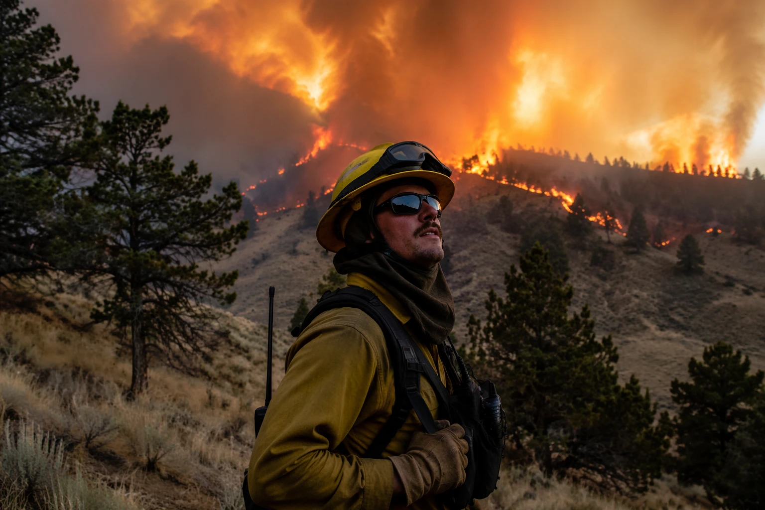
Fire crews attacked the Summit Fire with helicopters, fixed-wing aircraft and at least one military C-130 as it burned toward the Bridge Fire burn scar near Wrightwood. The fire damaged some buildings and threatened occupied structures. Witnesses described hot, windy conditions and heavy aircraft activity as crews tried to keep the fire from running harder through the dry brush.
A heat advisory remained in effect across much of Southern California through Tuesday morning, with an extreme heat watch expected next week and Palm Springs forecast to reach 109 degrees. Cal Fire’s March 2025 wildfire-risk maps already showed large sections of Los Angeles, Orange, Riverside and Ventura counties in long-term high-risk territory.
Sources
- [1]cbsnews.com
- [2]abc7.com
- [3]fire.ca.gov
- [4]cpc.ncep.noaa.gov
- [5]weather.com
- [6]droughtmonitor.unl.edu