US News
Heat wave grips the West as flood threat grows in Texas
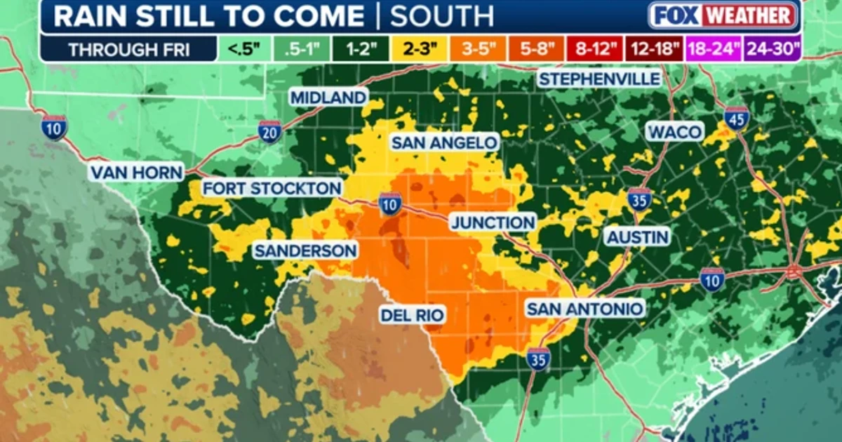
The National Weather Service’s Austin/San Antonio Weather Forecast Office kept a Flood Watch in effect for parts of the Hill Country, the I-35 corridor, the southern Edwards Plateau and the Rio Grande Plains through Thursday evening. A significant heat wave is underway across the Intermountain West, Northern Plains and Upper Great Lakes, while southwest Texas faces a separate threat of potentially life-threatening flash and arroyo flooding through Thursday. The National Weather Service expects the heat to peak through midweek and then linger across parts of the Northern Plains and Midwest until this weekend.
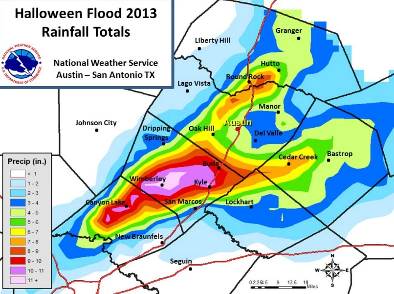
Wetter antecedent conditions from earlier rainfall are leaving soils and low-water crossings more vulnerable if storms stall over the same areas.
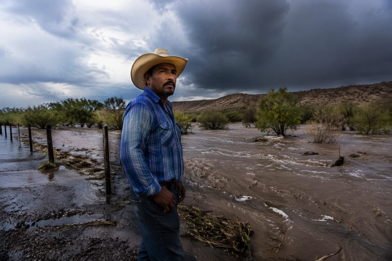
The atmosphere across the southern two-thirds of Texas is unstable and saturated, a setup that favors very efficient rainfall and high rainfall rates. The greatest heavy-rain threat is centered over the Edwards Plateau, Hill Country and along the Rio Grande Valley, with nearby terrain including the Davis Mountains and Glass Mountains also under concern.
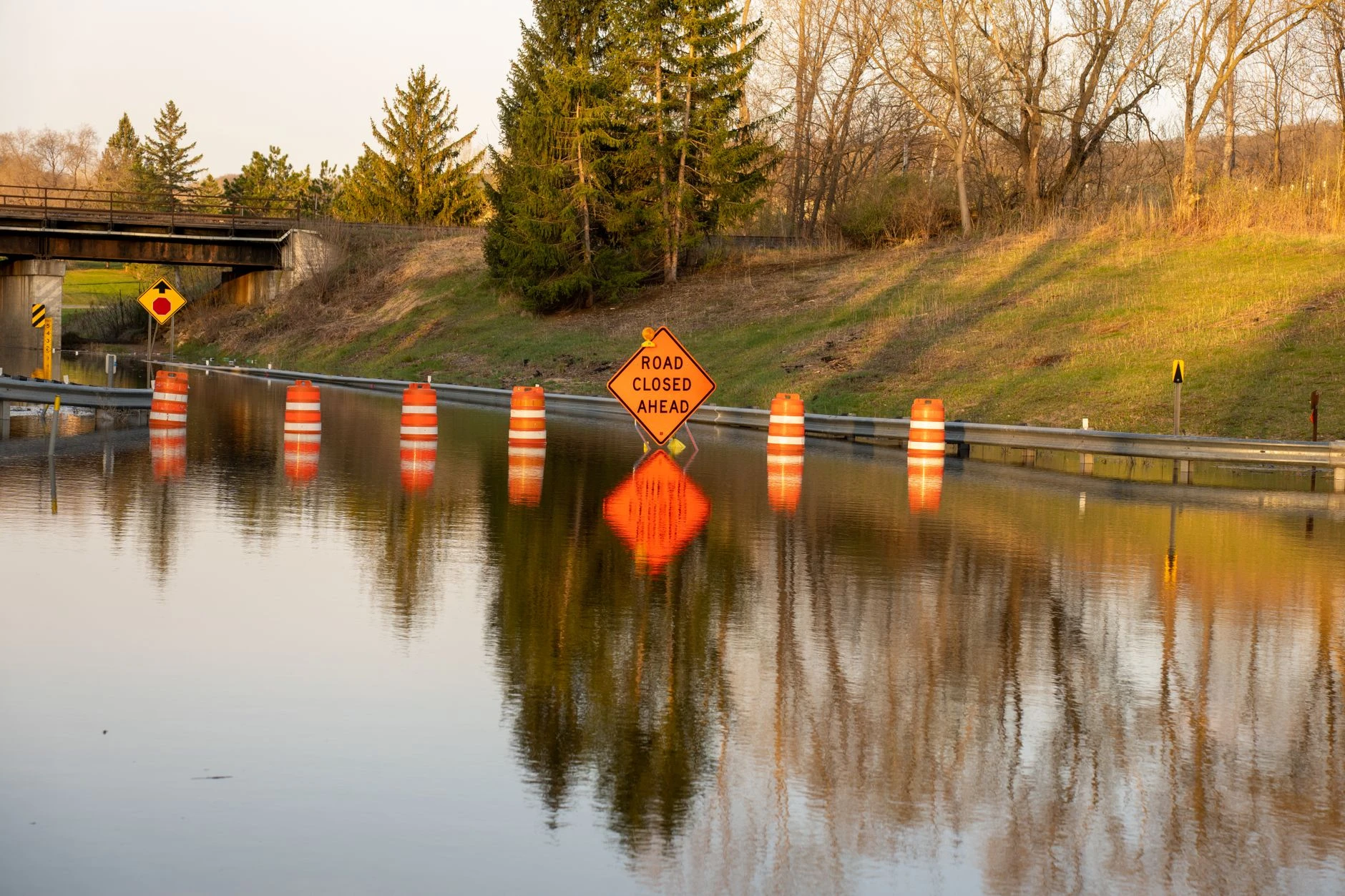
In the West and Upper Midwest, the immediate danger is heat illness and death. In Texas, the hazard is sudden flooding that can turn arroyos, creeks and road crossings lethal in a matter of minutes when rainfall comes down fast enough.
Heat causes preventable illness and death nationwide. CDC tracking showed that in 2023 more than two-thirds of Americans were under heat alerts. Its mortality data found that deaths involving excessive natural heat ranged from 297 in 2004 to 1,153 in 2020, then climbed to 1,600 heat-related deaths in 2021. Arizona recorded the highest state total that year, with 426 deaths.
Sources
- [1]cbsnews.com
- [2]weather.gov
- [3]forecast.weather.gov
- [4]cdc.gov