US News
Hurricane Fausto strengthens to Category 2, threatens Hawaii next week
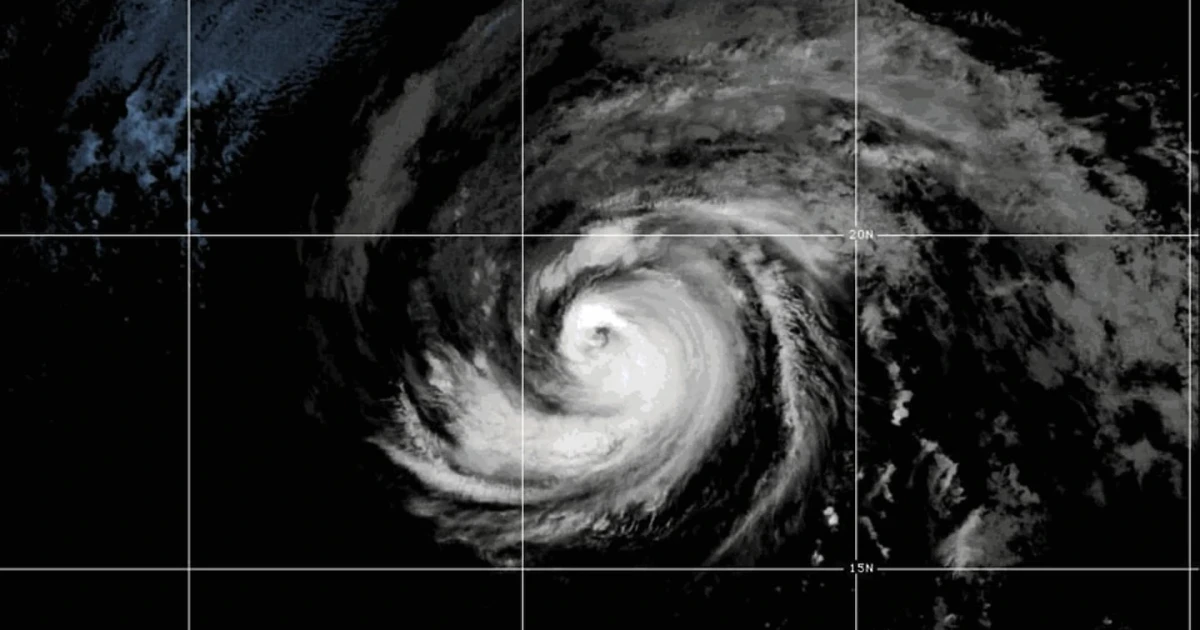
Hurricane Fausto strengthened into a Category 2 storm Friday and was expected to approach the Hawaiian Islands next week, putting emergency managers, residents and visitors on alert across the Central Pacific. The National Hurricane Center in Miami said the risk of some wind and rainfall impacts was increasing, but it was still too soon to pin down where those impacts would land or how severe they could be.
A Category 2 hurricane can still bring damaging winds, dangerous surf, heavy rain and localized flooding, and Hawaii’s terrain makes that risk harder to manage. Even a small shift in Fausto’s track could change which islands get the strongest wind or rain, with potential consequences for power lines, road access and low-lying neighborhoods that are prone to flash flooding and surf-related damage.
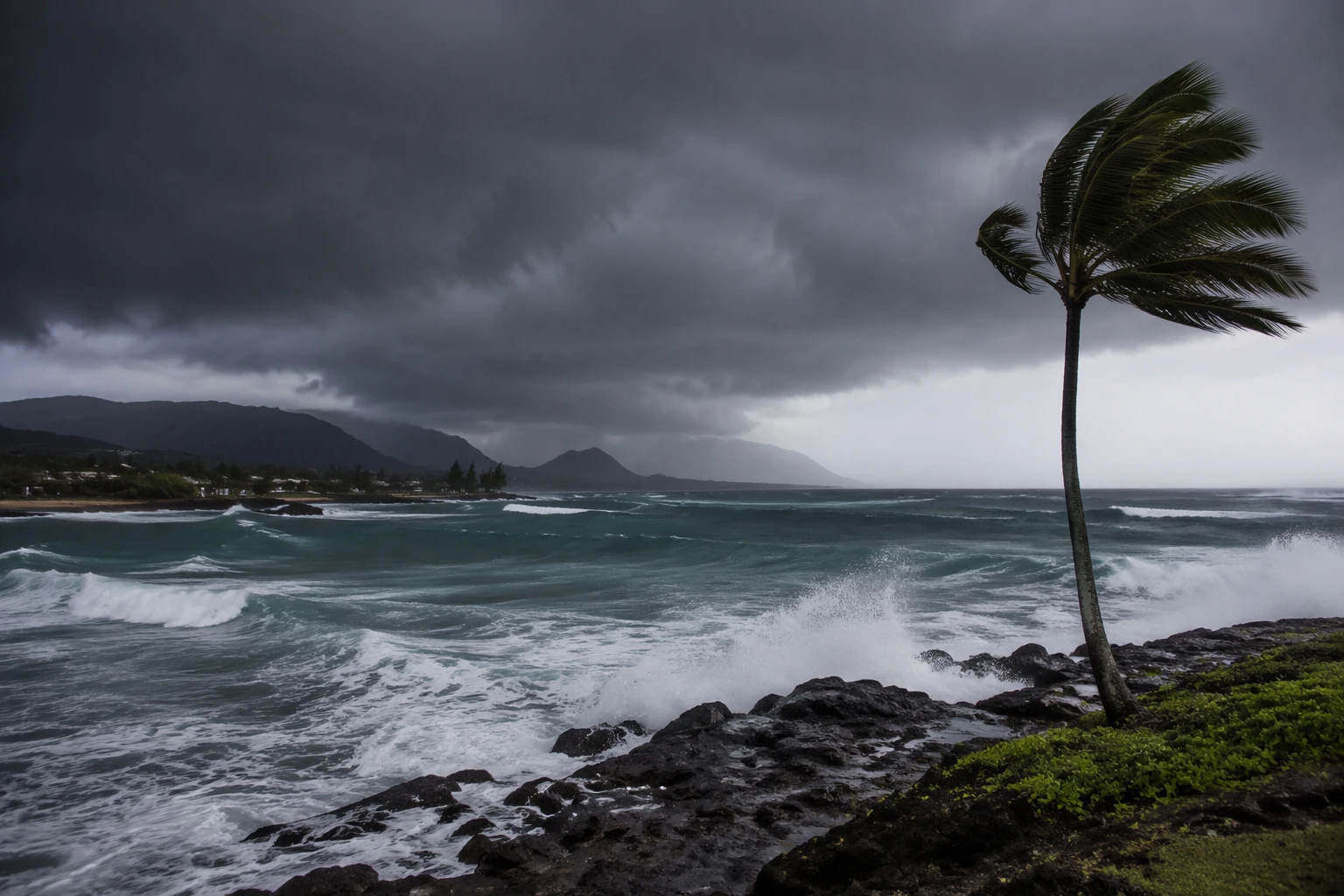
The National Weather Service warned in a post to X that there was an “increasing risk” Fausto could strike Hawaii with wind and rain next week, even as forecasters expected the storm to weaken. A July 22 forecast said Fausto would cross into the Central Pacific as a weak hurricane and then continue to lose strength, while a July 23 update tracked a large south swell and a hurricane swell associated with the system. Those swells can turn a distant storm into a coastal hazard long before any core winds arrive.
Fausto had been under watch for days before Friday’s upgrade. The National Hurricane Center’s advisory archive shows warnings dating back to Sunday, July 19, a sign that forecasters had already been following the storm’s path through the Pacific Ocean. The basin was active at the same time: Tropical Storm Genevieve formed in the eastern Pacific as Fausto strengthened, underscoring how quickly conditions can shift during a busy stretch of summer weather.
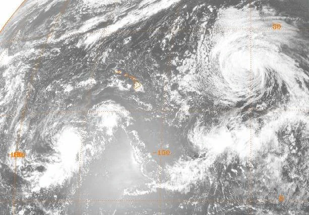
For Hawaii, the immediate question is not only whether Fausto reaches the islands, but which ones absorb the strongest weather and when. With the next several forecast cycles likely to carry the most weight, officials and residents face the same readiness test that has accompanied past Pacific storms: whether the track stays wide enough for a near miss, or tightens into a direct threat with flooding, surf and wind arriving in quick succession.
Sources
- [1]apnews.com
- [2]abcnews.com
- [3]newsweek.com
- [4]hawaiinewsnow.com
- [5]nhc.noaa.gov