World
Italy research hub helps Europe track and predict rising wildfires

From a research campus on the shore of Lake Maggiore, engineers, foresters and scientists are trying to move Europe’s wildfire response upstream. Their goal is to spot danger earlier, not just measure damage after the flames have passed, using satellites, weather models and field expertise to predict where the next major fire could start and spread.
A science campus built for a different era
The European Commission’s Joint Research Centre in Ispra, Italy, is the largest site in the JRC network and was founded in 1960 as a nuclear research facility. It is now one of the Commission’s biggest research campuses and the base for much of Europe’s wildfire analytics. What began as a Cold War-era scientific outpost has become a hub for climate-linked risk monitoring, with fire forecasting now sitting alongside broader work on environmental change.
That shift matters because the JRC does not just watch fires burn. Its forest-fire work is designed to support European and global authorities by predicting and forecasting fires before they ignite, then tracking the aftermath through soil impacts, gas emissions and vegetation loss. In practice, that means the same institution helping model fire danger also helps measure the ecological and atmospheric damage left behind.
How EFFIS turns data into warning
At the center of that system is the European Forest Fire Information System, known as EFFIS, which is implemented by the JRC. EFFIS provides updated and reliable information on wildland fires in Europe and supports the European Commission and European Parliament with a shared operational picture. The system is built to do more than archive incidents: it combines fire danger forecasts, rapid damage assessment, active-fire detection, burnt-area mapping, fire emissions and a Fire News module that geolocates wildfire-related news across European languages.
That combination is what makes the platform useful in a fragmented emergency landscape. A fire in one country can quickly become a cross-border problem for neighboring air crews, civil protection teams and policymakers, and EFFIS is built to track those moving parts in near real time. The value of the system is not only in seeing where a fire is, but in estimating where it could go next and how serious the impact could become.
The scale Europe is facing
The need for that kind of forecasting is already clear in the numbers. The JRC says more than 60,000 forest fires occur every year in the EU, burning on average about half a million hectares and causing around €2 billion in losses. That is not a niche environmental issue. It is a recurring economic shock that hits land use, emergency budgets, biodiversity and local infrastructure at the same time.
The European Commission has said wildfires are becoming more frequent in Europe, with damaging consequences for nature, biodiversity, people and the economy. It also says climate change is increasing the risk of prolonged and severe fires. The JRC’s climate work goes further, warning that changing weather conditions linked to global warming will raise fire danger across most of Europe, with the strongest projected increase in southern European countries where fires are already frequent and intense.
The calendar itself is changing. Recent JRC reporting says the traditional fire season is expanding, with serious fires appearing earlier and later in the year. That longer season complicates staffing, aircraft positioning and coordination across countries that once could treat wildfire preparedness as a more limited summer exercise.
Why 2024 and 2025 changed the baseline
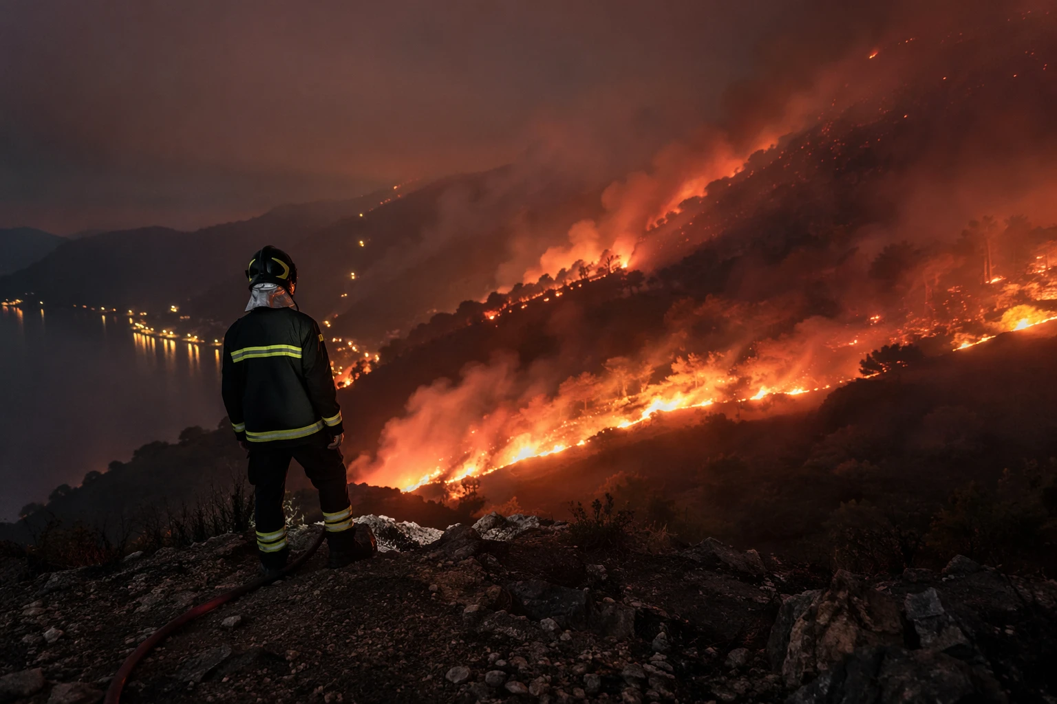
The recent record underscores how quickly the risk curve is moving. The JRC says 2023 was among the five worst wildfire years in Europe in more than two decades. It also says 2024 burned 383,317 hectares across Europe, the Middle East and North Africa and still came in above the 17-year average. By the JRC’s account, 2025 was on track to be the worst year since EFFIS records began.
Those figures matter because they define the baseline for any prevention system Europe is trying to build. A forecast platform that was useful when bad fire years were occasional now has to function in a more volatile climate where extreme seasons are becoming normal planning assumptions. In that setting, the question is no longer whether the continent can respond to one large fire at a time. It is whether it can anticipate multiple simultaneous fires, over a longer season, with enough precision to move crews and aircraft before the situation turns catastrophic.
The summer 2026 stress test
This year’s cross-border response is already testing that system. Portugal activated the European Civil Protection Mechanism on July 3, 2026, amid extreme wildfire risk. Days later, the European Commission said Portugal and France had both activated the mechanism, and that the EU was mounting what it called the largest-ever wildfire response for a summer season.
The scale of the deployment shows how quickly a national fire emergency becomes a continental logistics problem. The Commission said 777 firefighters from 14 European countries were being pre-positioned or deployed across Cyprus, Greece, Italy, France, Spain and Portugal. Spain sent 118 firefighters and 45 vehicles to Portugal, while three rescEU firefighting aircraft from Italy and Spain were deployed and four more rescEU airplanes from Sweden and Cyprus were mobilized.
One of the main Portuguese blazes, near Vouzela, was reported to have burned for more than three days and spread across about 12,000 hectares. That single fire captures the operational pressure facing both the forecast system and the crews on the ground: once conditions reach that scale, response depends on knowing where the next ignition will be, how fast it can travel, and which countries can move assets in time.
What Europe is building next
The real measure of progress is not whether Europe can send more aircraft after a crisis has begun. It is whether satellite data, weather modeling and shared fire intelligence can shrink the gap between the first sign of danger and the moment a blaze becomes unmanageable. The work in Ispra is aimed at exactly that gap.
Europe is no longer dealing with wildfire seasons that fit old assumptions about timing or geography. Fires are arriving earlier, lasting longer and burning harder, and the research hub in Italy is helping turn that reality into a more usable warning system. The continent’s challenge now is whether prevention can scale as fast as the fires themselves.