US News
John Muir Wilderness protects California’s vast Sierra Nevada backcountry
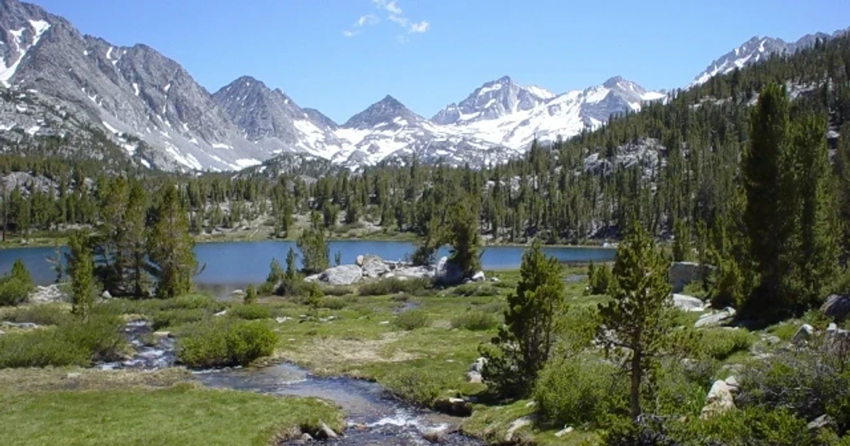
The John Muir Wilderness is where the 1964 Wilderness Act still has practical force: a vast stretch of Sierra Nevada backcountry remains protected as federal land meant to stay wild, not developed. Spanning about 100 miles along the crest of the Sierra Nevada, it is one of California’s clearest examples of how wilderness policy works when a landscape is both remote and intensely desired.
A wilderness boundary with national significance
Congress designated the John Muir Wilderness in 1964, the same year the Wilderness Act created the National Wilderness Preservation System and set a federal standard for preserving lands in their natural condition. That legal framework matters because wilderness is not simply a scenic label. It is a policy decision that limits the kinds of uses allowed on the land so natural conditions and solitude remain central, not incidental.
The wilderness is named for John Muir, the naturalist and conservation advocate who spent his life arguing for protection of the Sierra Nevada’s wild places. In that sense, the area is both a memorial and a test case: it shows what Muir was fighting for, and what Congress chose to protect on a large scale.
How the land is managed
The John Muir Wilderness covers approximately 650,000 acres and is shared by the Inyo National Forest and the Sierra National Forest, with roughly half managed by each. That split management is important because wilderness does not stop at a map line for the people trying to administer it. Trail conditions, visitor pressure, and permit systems all have to be handled across a landscape that is functionally connected.
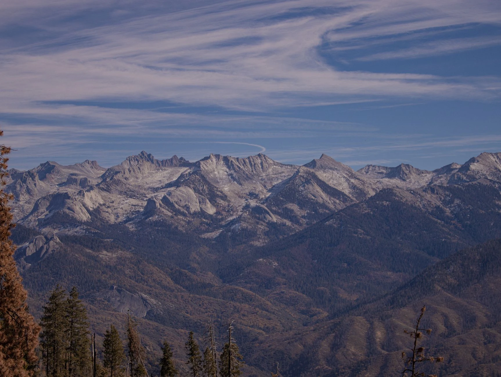
The boundaries also matter because the wilderness is contiguous with Kings Canyon National Park, Sequoia National Park, the Ansel Adams Wilderness, the Golden Trout Wilderness, and other protected areas. Together, these lands help form one of the largest roadless areas in the lower 48 states. That connected protected landscape is a core part of the public-lands debate in the West: preservation works best when large blocks of land remain intact, not carved into smaller, isolated fragments.
Why access is tightly managed
Demand for this country is high. Approximately 30 million people live within a few hours’ drive of the Inyo National Forest, putting the John Muir Wilderness within reach of a huge population base. That proximity helps explain why the area draws so many visitors and why federal managers rely on rules that go beyond simple trail etiquette.
Wilderness permits are required year-round for overnight trips into the John Muir Wilderness, and they are reserved online through Recreation.gov. The permit system uses quotas to help protect natural conditions and opportunities for solitude, which are two of the central promises of wilderness designation.
• Overnight use requires a wilderness permit. • Permits are reserved online through Recreation.gov. • Quotas are used to limit pressure and preserve solitude.
In practice, that means the wilderness is open, but not open-ended. The goal is not to maximize traffic; it is to keep use within limits that allow the land to stay wild enough to justify the designation in the first place.
The trails that define the experience
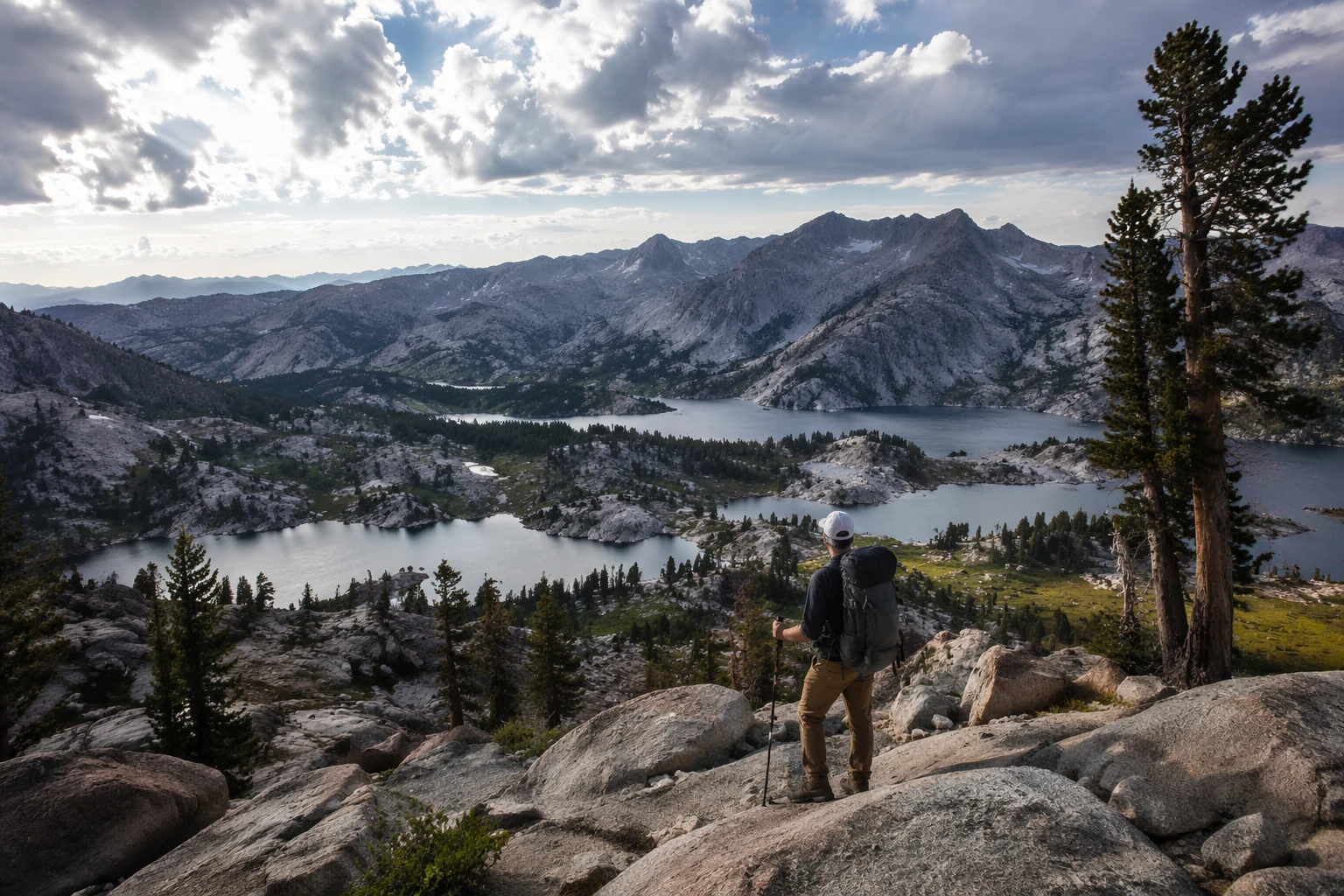
The John Muir and Pacific Crest Trails both pass through these continuous wilderness areas, turning the region into more than a destination. It is also a long-distance corridor where hikers move through protected country for days at a time, crossing landscapes that remain connected across multiple jurisdictions.
The John Muir Trail gives the wilderness one of its most famous through-lines. Its southern end is the summit of Mount Whitney, the highest peak in California and in the lower 48 states, and the route extends more than 200 miles north to Yosemite Valley. For many visitors, that geography captures the appeal of the Sierra Nevada backcountry better than any brochure can: a single route linking alpine passes, deep valleys, and some of the most heavily protected land in the country.
For summit climbers, the Mount Whitney Trail starts at Whitney Portal, while the broader wilderness setting around it reinforces why access must be managed carefully. The same landscape that draws casual hikers, long-distance backpackers, and peak baggers also needs protection from being loved to death.
What the John Muir Wilderness says about public land today
The John Muir Wilderness shows the central bargain of modern public-lands policy. Congress can set land aside, but agencies still have to decide how to protect it, how to ration access when demand is high, and how to keep big landscapes connected enough to function as true wilderness. That work is visible here in the shared management between two national forests, the quota system, and the network of adjoining protected areas.
This is why the John Muir Wilderness remains more than a scenic backdrop. It is a living demonstration of what the Wilderness Act was designed to do: preserve a large federal landscape in its natural condition while allowing people to enter it on terms that do not erase the very qualities they came to find.
Sources
- [1]cbsnews.com
- [2]fs.usda.gov
- [3]recreation.gov
- [4]nps.gov