Science
New Research Explains Colorado River’s Geological Disappearance
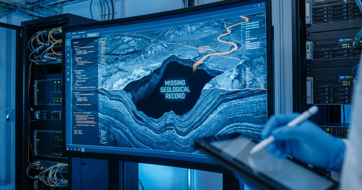
New findings have shed light on a longstanding geological mystery: why the Colorado River disappeared from the geological record for nearly 5 million years. Recent research provides fresh insight into the river’s ancient path and the formation of the iconic Grand Canyon.
The Colorado River’s Vanishing Act
The Colorado River is one of North America’s most significant waterways, carving out the Grand Canyon and supporting millions of people and ecosystems. Yet, for years, scientists have puzzled over a conspicuous gap in the river’s geological record: for a period of about 5 million years, evidence of its flow and sediment deposits virtually vanishes.
This absence appeared in rock layers and sedimentary records, where scientists expected to find a continuous story of the river’s journey across the Southwest. The disappearance was especially perplexing given the dramatic landscapes the river helped shape, including the Grand Canyon.
Solving a Geological Mystery
According to new research highlighted by IFLScience and supported by peer-reviewed data in Science, the answer lies in a combination of shifting landscapes, changing geological features, and the river’s evolving course. Scientists have determined that tectonic activity and changes in the region’s topography rerouted the river, temporarily halting its journey toward the ocean and causing it to flow into a series of ancient basins instead.
During this period, the river’s sediments were trapped in these basins, leaving little trace in the downstream geological record. Only after further tectonic uplift and erosion reconnected the river to its present course did it resume its familiar path, carving through what would become the Grand Canyon.
- Geochronological data suggest the Colorado River’s integration with the Gulf of California was interrupted, causing the river to lose its outlet for millions of years.
- Stratigraphic and geochemical analysis supports the theory of isolated drainage basins capturing sediments during this time.
- Evidence from multiple studies confirms the river’s course was altered by geological uplift and faulting events.
Implications for Grand Canyon Formation
The findings have significant implications for understanding the Grand Canyon’s formation. The research suggests that the Grand Canyon’s current shape and depth resulted from the river resuming its journey after this long hiatus, rapidly cutting through rock layers as it reestablished its course to the sea.
This process highlights the complex interplay between climate, tectonics, and erosion in shaping one of the world’s most famous landscapes. The Grand Canyon’s geological story is far from straightforward, involving episodes of incision, river capture, and dramatic environmental shifts.
What the Research Means for Today
Understanding the Colorado River’s ancient history is not just an academic exercise. As modern challenges like drought and overuse threaten the river’s future, insights into its past provide valuable context for managing water resources and preserving natural wonders like the Grand Canyon.
With new techniques in sediment analysis and geospatial mapping, scientists are continuing to unravel the complex dynamics of river systems and the landscapes they shape.
Looking Forward
As researchers dig deeper into the Colorado River’s past, more discoveries are likely to emerge about the forces that have shaped the American Southwest. For now, solving this geological mystery brings scientists one step closer to understanding the enduring legacy of the Colorado River and the Grand Canyon.