US News
Northeast braces for severe storms and flash flooding along I-95 corridor

A flood watch covered the I-95 corridor Tuesday as the National Weather Service in Philadelphia/Mount Holly upgraded eastern Pennsylvania, New Jersey, Delaware and Maryland’s Eastern Shore to an enhanced risk, level 3 out of 5, for severe thunderstorms. The office issued the warning in a 5:00 PM EDT Monday briefing for Tuesday and Wednesday, July 21-22, after heavy rain on Saturday left the ground primed for more runoff.
The highest threat zone ran from northeastern Kentucky to New Jersey and included Pittsburgh, Washington, Baltimore and Philadelphia, putting some of the Northeast and Mid-Atlantic’s busiest travel corridors in the center of the storm track. Flooding could reach Washington, Philadelphia and New York City on Tuesday, giving the region’s already saturated roads and rail approaches little margin if another round of downpours stalled over the same ground.
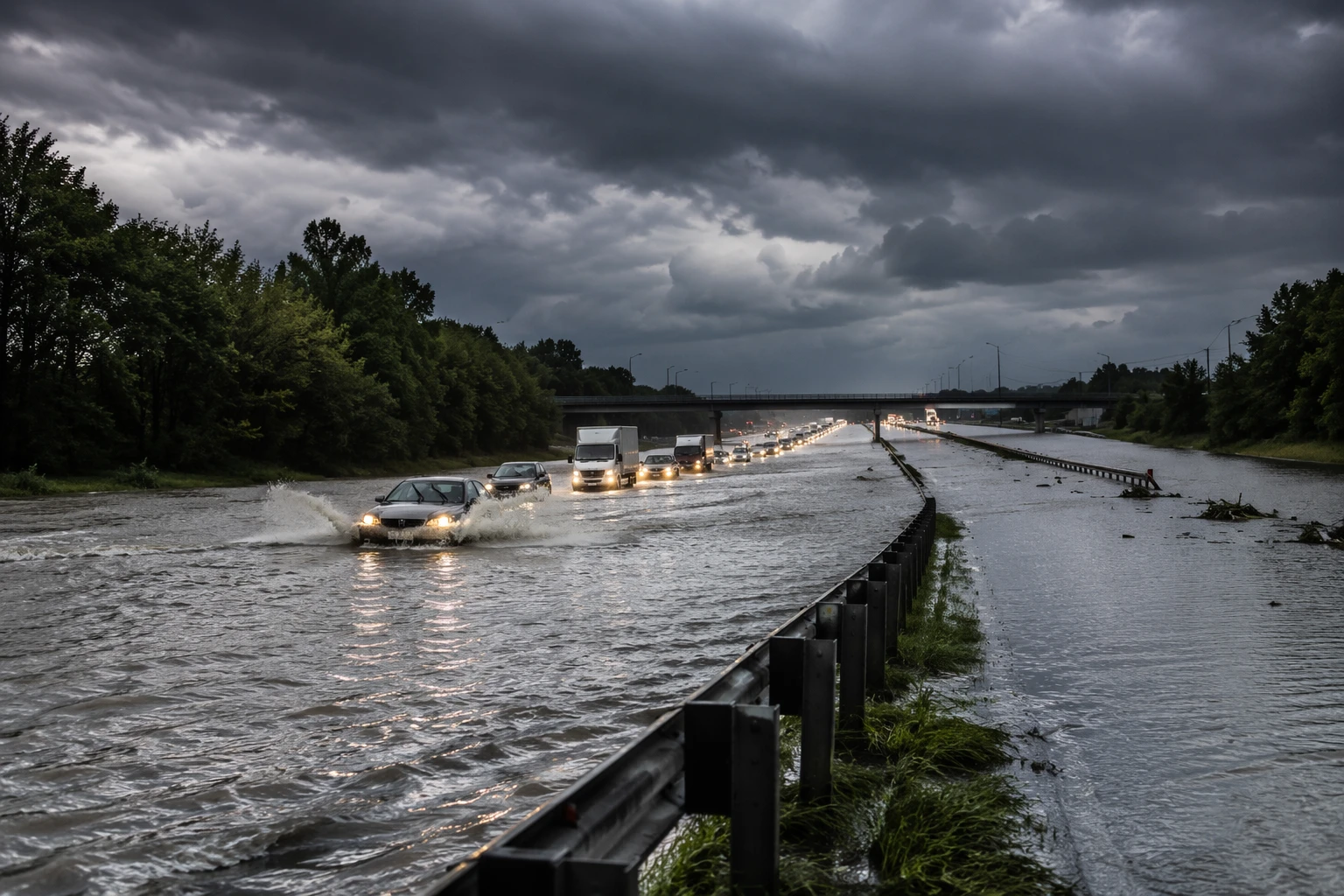

The National Weather Service Baltimore/Washington added its own Hazardous Weather Outlook at 5:17 AM EDT Tuesday for the Chesapeake Bay, the tidal Potomac, Washington, Maryland and Virginia. In Philadelphia, forecast guidance highlighted severe thunderstorms from the Midwest to the mid-Atlantic, a signal that the hazard was part of a broader multi-state system rather than a localized coastal burst.
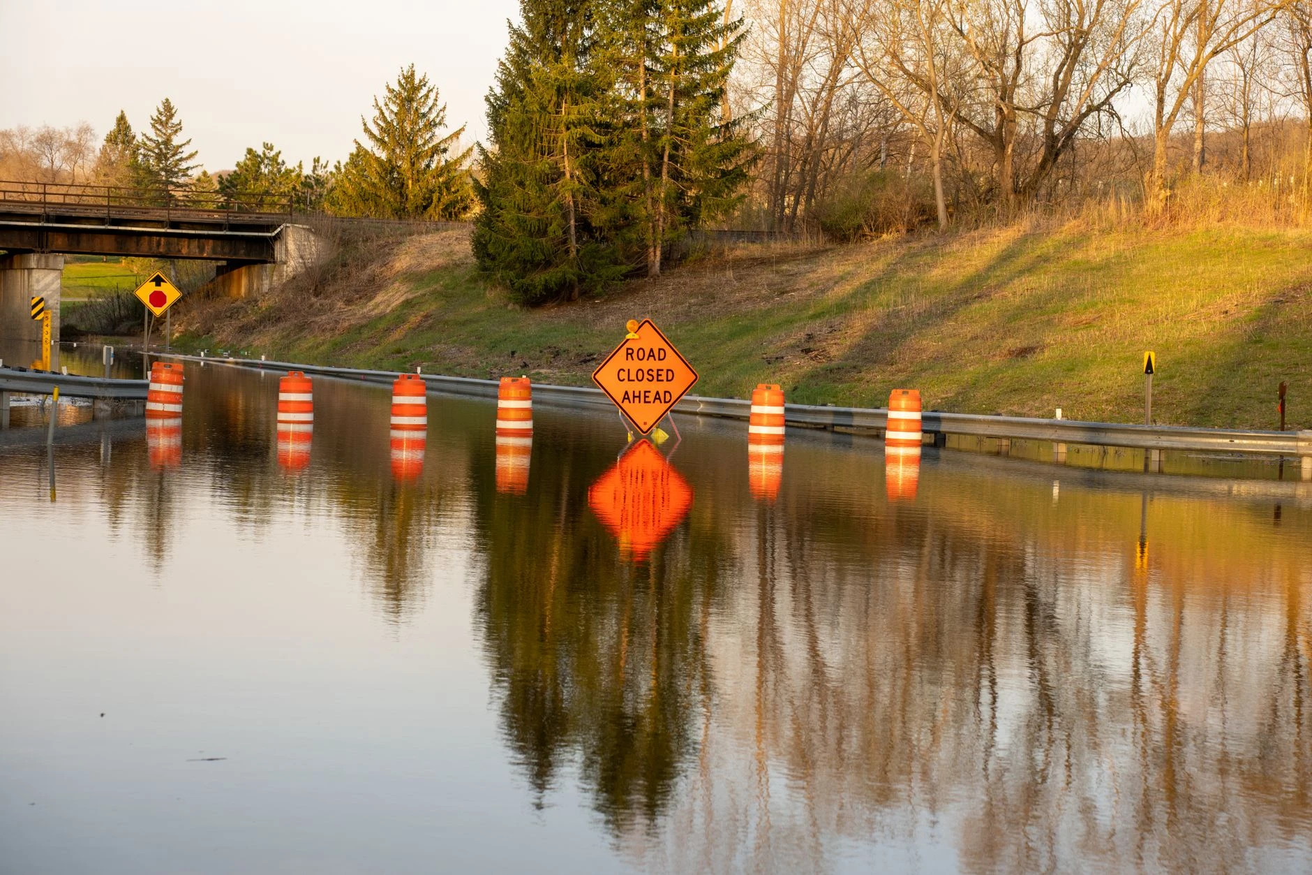

Smoke from Canadian wildfires was also affecting the Northeast, adding a visibility problem on top of the flood and thunderstorm threat. With the region already dealing with saturated ground from Saturday’s rain, the same storm line could quickly turn routine Tuesday travel into a disruptive stretch for commuters across the I-95 corridor, from Baltimore and Washington through Philadelphia and into New Jersey.
Sources
- [1]abcnews.com
- [2]weather.gov
- [3]forecast.weather.gov