World
Rare 6.1 quake off Cuba rattles Florida, Mexico and Caribbean
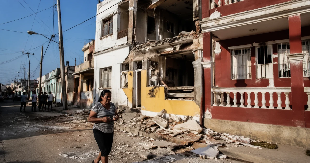
A shallow magnitude 6.1 earthquake off Cuba’s northwest coast sent shaking into Florida, Mexico and the Caribbean, forcing people out of buildings in Havana and prompting precautionary evacuations in tourist centers along Mexico’s Yucatán Peninsula. The quake struck beneath the Gulf within the North America plate, an unusual setting that helps explain why one offshore rupture was felt so widely across the region.
The U.S. Geological Survey placed the epicenter about 102 to 104 kilometers west-northwest of Mantua, Cuba, at a depth of 26 kilometers. USGS said the temblor resulted from reverse faulting, and seismologist Paul Earle called it “unusual for this area.” Reuters reported that no earthquake this strong had hit within about 322 kilometers of the epicenter since 1880, underscoring how rarely residents and officials in the Caribbean and South Florida confront this kind of threat.
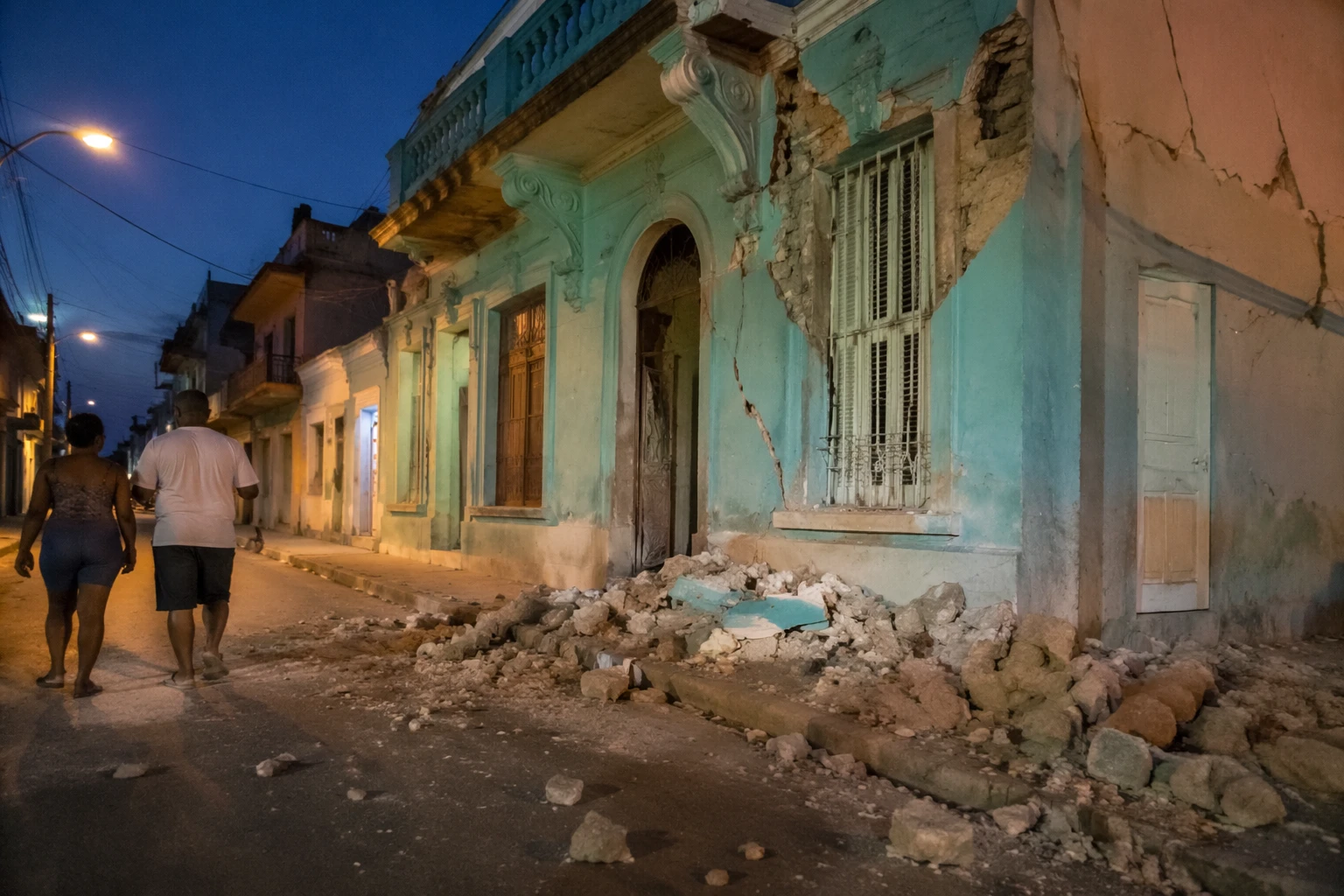
In Havana, AFP journalists reported about 20 seconds of shaking that pushed people into the streets. In Florida, the quake was felt as far north as Tallahassee, and the National Weather Service in Miami said it received multiple reports of shaking in southwestern Florida. Miami-area officials reported no tsunami threat, no major injuries and no significant damage.
Mexico’s tourism corridor saw some of the clearest immediate disruption. Local reporting from Quintana Roo said hotels, public buildings and some airport areas in Cancún, Playa del Carmen and Tulum carried out precautionary evacuations after the shaking. Even without major damage, the brief alarm traveled fast through a corridor where hotels, beaches, airports and coastal roads are tightly linked to daily commerce and emergency response.
The quake is a reminder that hazard planning in the region cannot focus only on hurricanes and flooding. A single offshore earthquake can disrupt travel, rattle coastal infrastructure and send people into the streets in seconds, especially in places where seismic risk is often overshadowed by storm season. USGS is using ShakeMap and Did You Feel It? products to document the ground motion and public reports of shaking, tools that help emergency managers and scientists measure what residents experienced and where the shaking reached most strongly.
Sources
- [1]usnews.com
- [2]earthquake.usgs.gov
- [3]thehindu.com
- [4]cbsnews.com
- [5]wusf.org
- [6]tulumtimes.com