Technology
Researchers warn Google’s satellite AI could expose sensitive locations
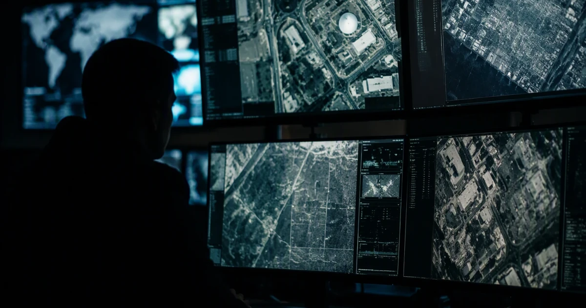
Google’s new Google Earth image tool drew immediate warnings from researchers after it let users generate AI visualizations on top of satellite imagery and, in some cases, fabricate scenes that looked real. The feature, rolled out July 30 and then withdrawn after backlash, pushed a sensitive capability into a consumer product that already maps places from orbit.
Google said users could zoom to a place in Google Earth on the web, tap “create image,” and generate custom images grounded in real-world imagery. In earlier Earth AI messaging, the company described the system as a family of geospatial AI models and reasoning agents that provides “actionable insights, grounded in real-world understanding,” and said the technology was being expanded. Google has also tied Earth AI to flood, wildfire and cyclone insights, while a Google Maps Platform page says the company is building AI-powered products for geospatial evaluation and analytics.
That combination is what alarmed researchers and open-source intelligence specialists. A tool that can summarize what a satellite image shows, spot change over time, or generate a plausible new view of a location can also lower the cost of surveillance, targeting and intelligence collection. Hostile governments, private actors and bad-faith groups could use it to identify critical infrastructure, map military facilities, monitor vulnerable communities, or create convincing false imagery that blurs the line between evidence and fabrication.
The misinformation risk surfaced almost immediately. BBC Verify demonstrated a fake AI-generated satellite image showing the Eiffel Tower collapsed, and the BBC said Google withdrew the tool after warnings that it could fuel misinformation. Business Insider said the image-generation function did not survive a day after launch. Google Earth’s X account said the feature let users “virtually reimagine anywhere in the real world,” a phrase critics said underscored how easily the system could produce believable but false images.
NPR quoted one expert saying, “The opportunities for abuse and disinfo are literally boundless.” That concern goes beyond one feature. Google Research has been building Earth AI since at least Oct. 23, 2025, and the company has been moving geospatial AI closer to mainstream products at the same time it has expanded AI across search, productivity and cloud services. The pace of that rollout leaves an open question about safeguards: who gets access, what checks exist before an image is generated, and whether current oversight can match a tool that can turn any mapped place into a synthetic scene in seconds.
Sources
- [1]dawn.com
- [2]france24.com
- [3]blog.google
- [4]research.google
- [5]mapsplatform.google.com
- [6]developers.google.com
- [7]bbc.com
- [8]npr.org
- [9]businessinsider.com
- [10]arstechnica.com