Science
Satellite Imagery Reveals Ireland’s Persistent Cloud Cover
Ireland’s lush, green landscape is renowned worldwide, earning it the nickname the 'Emerald Isle.' Now, new satellite imagery and analysis from NASA shed light on why the island’s reputation for both verdant beauty and frequent gray skies is well deserved.
NASA Satellites Capture Ireland’s Cloud Patterns
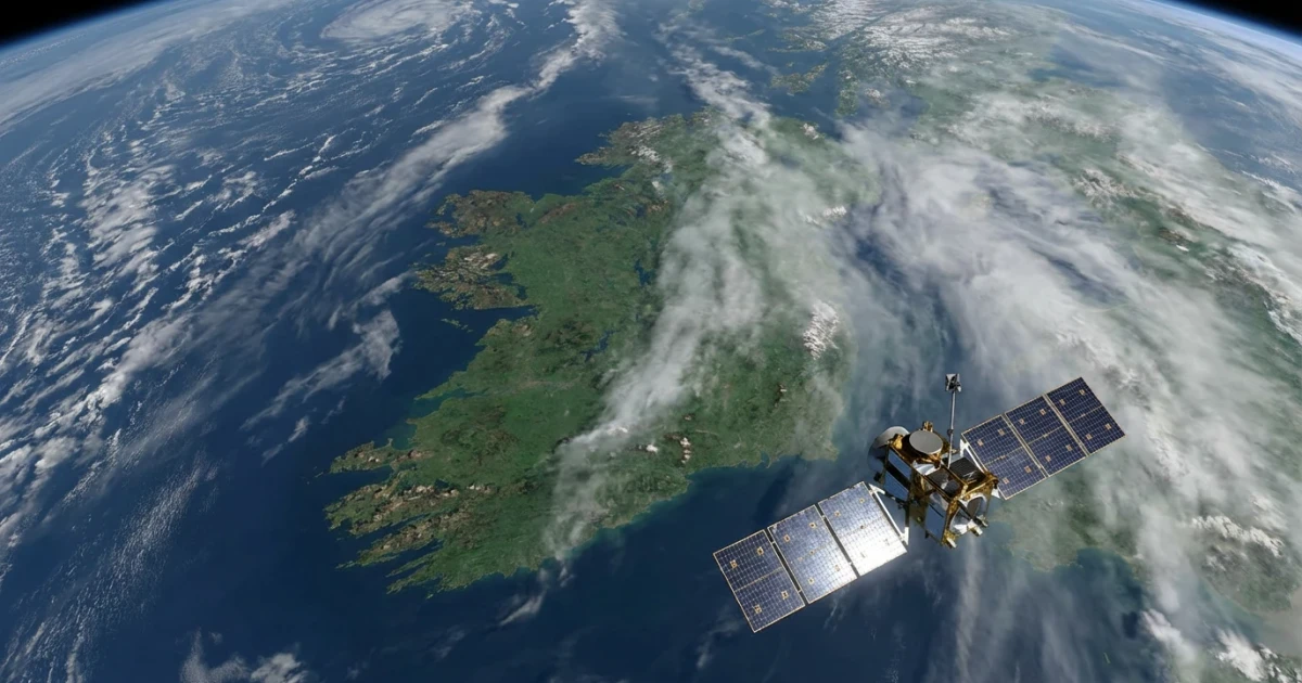
On March 17, 2026, NASA’s Earth Observatory published a detailed look at Ireland using data from the MODIS Surface Reflectance Data Product. The imagery, captured by the Moderate Resolution Imaging Spectroradiometer (MODIS) aboard NASA’s Terra and Aqua satellites, reveals extensive cloud cover blanketing most of the island. The analysis highlights a familiar sight for both residents and visitors: a pervasive layer of gray clouds stretching across the countryside.
According to NASA’s Earth Observatory, these images are representative of the persistent weather patterns that shape Ireland’s environment. The island’s maritime climate, influenced by the Atlantic Ocean, brings frequent rainfall and cloudy skies, particularly during the spring and autumn months.
Impact on Ireland’s Landscape and Vegetation
The regular presence of clouds and rainfall is a major factor behind Ireland’s strikingly green landscapes. NASA’s analysis underscores how the steady moisture supply supports the country’s rich grasslands and robust agriculture. This connection is evident in long-term Normalized Difference Vegetation Index (NDVI) data, which track the island’s greenness over time and confirm Ireland’s reputation as one of Europe’s most verdant regions.
- Satellite imagery consistently shows high levels of vegetative growth across Ireland, even compared to neighboring countries.
- The mild climate, with few extremes of temperature, ensures a long growing season for grasses and crops.
- Average annual rainfall, according to Met Éireann historical climate data, typically ranges from 800 mm in the east to over 2,800 mm in the west, further supporting vegetation.
Cloud Cover: A Defining Feature of Irish Weather
NASA’s findings reinforce what locals have long known: Ireland is often shrouded in clouds. The satellite perspective provides new context for everyday experiences, confirming that the country sees frequent cloud cover throughout the year. Interactive tools such as NASA Worldview allow users to explore current and past cloud patterns over Ireland, offering both scientists and the public a window into the island’s dynamic weather.
While the abundance of gray skies may seem gloomy, it plays a vital role in shaping Ireland’s climate and landscape. The steady precipitation and mild temperatures, maintained by the prevailing cloudiness, are key to the country’s agricultural productivity and natural beauty.
Scientific Insights and Broader Implications
NASA’s satellite data not only confirm Ireland’s reputation for cloudy weather but also provide valuable resources for climate researchers, environmental planners, and policy makers. By tracking cloud cover and surface reflectance, scientists can monitor trends in vegetation health, assess the impacts of climate change, and inform land management decisions.
The public can explore these datasets firsthand. For example, the MODIS Surface Reflectance Data and NDVI time series for Ireland offer insights into both daily and seasonal changes, while Met Éireann’s historical records enable long-term climate comparisons.
Looking Ahead
As satellite technology continues to advance, our ability to monitor and understand Ireland’s unique climate will only improve. For now, NASA’s latest observations confirm that the Emerald Isle’s mix of gray clouds and vibrant green fields is not only a cultural image but a scientific reality, shaped by persistent maritime influences and revealed in detail from space.