Technology
Satellite study finds cities grow in bursts, not smooth patterns

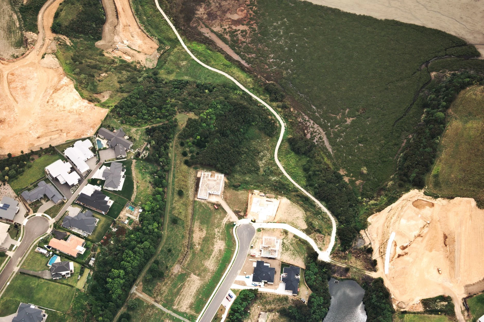
Cities do not grow in a smooth line. A study led by Zhe Zhu and Karen C. Seto found that urban expansion in Seattle, Shenzhen, Lagos, Mumbai, Dubai and Mexico City unfolded in spikes, pauses and shifting bursts that satellite-based measurements could see long before traditional planning metrics would catch them.
Published in the Proceedings of the National Academy of Sciences on June 16, 2026, the research used dense time-series imagery from NASA’s Landsat missions and the European Space Agency’s Sentinel-2 satellites to track change at the neighborhood scale. The team combined that data with a deep-learning and time-series-analysis framework called CAPES, along with a metric they call Capital Infrastructure and Real Assets, or CIRA, to measure construction activity and intensity more precisely than annual censuses or decade-by-decade land-use maps.
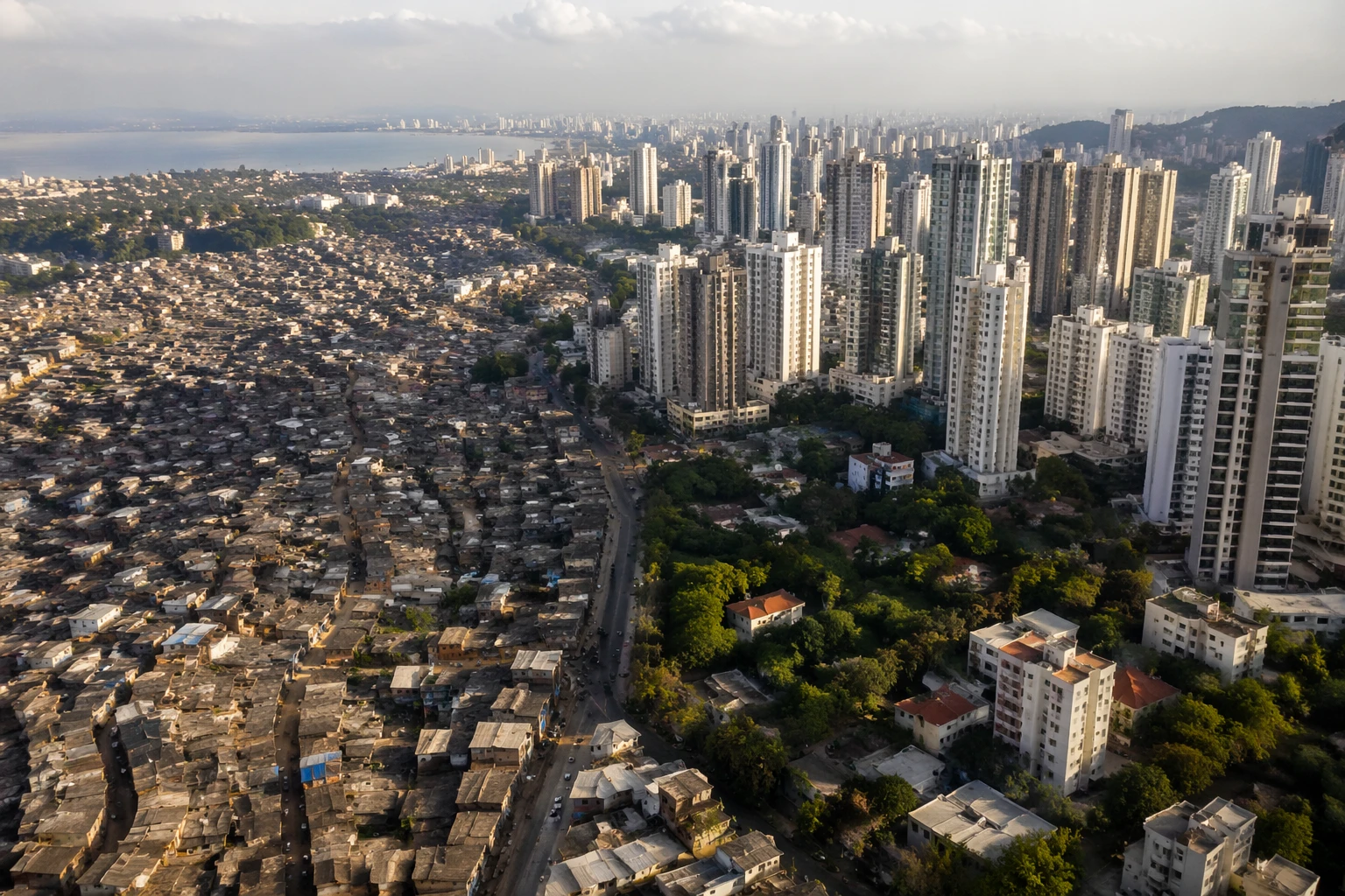
The core finding is that urbanization is spiky, cyclical and asynchronous. One district can surge while another slows, and a metro area can be booming in one corridor even as nearby blocks are flat. In Dubai, a visualization mapped monthly construction activity across the city’s 65 most active locations, showing how expansion can come in short, uneven bursts rather than a single wave. That matters because governments often budget and plan as if cities change steadily, when the satellite record shows growth can accelerate, stall and relocate within the same urban area.
The public-policy implications are broad. If officials can see where development is heating up fastest, where land-use pressure is rising, or where growth is lagging, they can target roads, water systems, transit, schools and cooling infrastructure sooner. The same data could help climate planners identify neighborhoods facing the sharpest exposure to heat, congestion and environmental stress, and direct resilience spending before those pressures harden into crisis. In places where growth is fastest and least evenly distributed, that kind of early signal can shape whether investment reaches the right blocks or arrives too late.
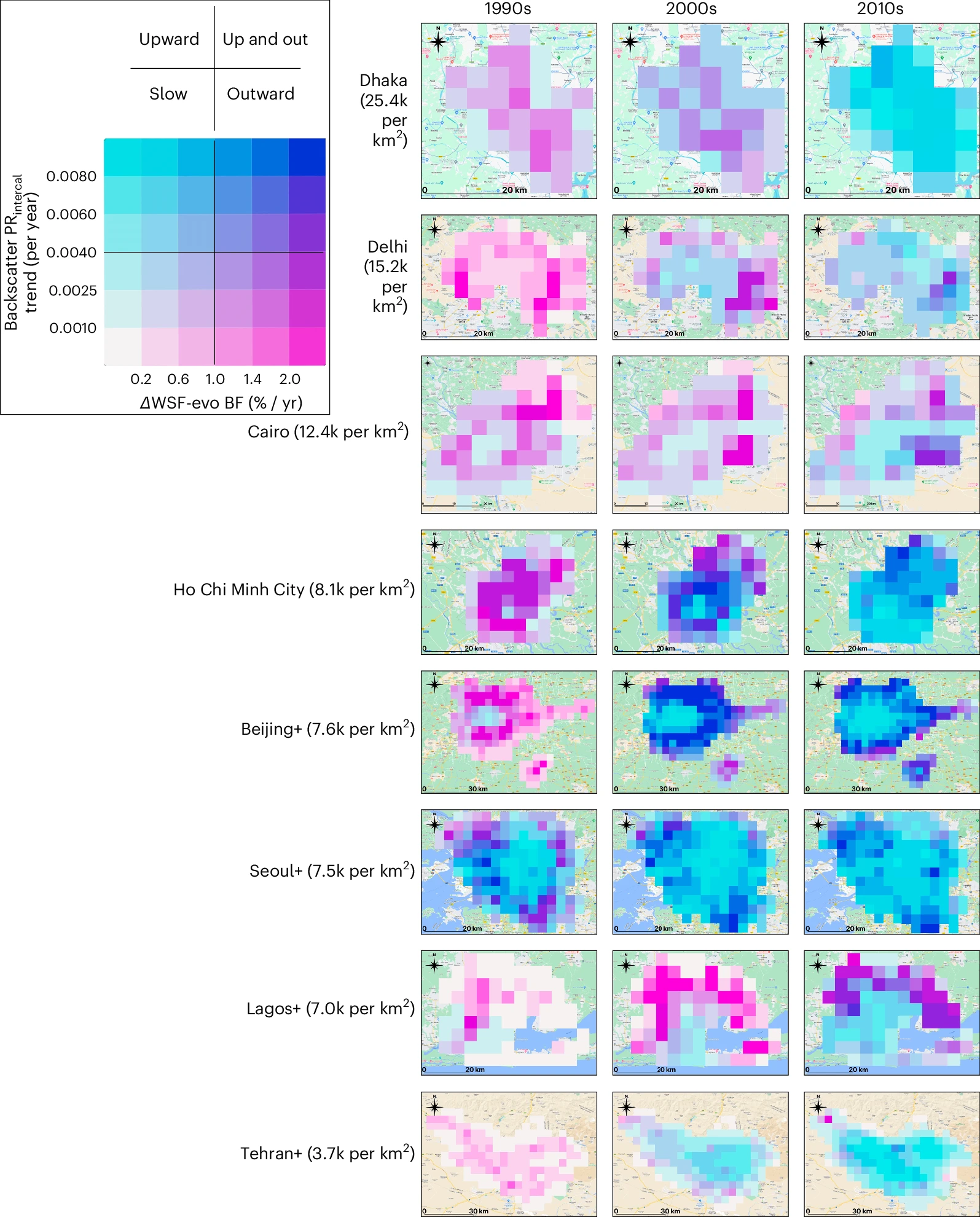
The researchers also examined how the pandemic altered urban rhythms. Some of the six cities had not returned to prepandemic patterns, while others shifted substantially after COVID-19. That finding underscores a bigger point: urban change can be disrupted quickly, and the effects may persist in ways that broad economic indicators miss.
For city governments, the message is direct. Satellite-based vital signs can reveal how a city is actually changing, not just how it appears in annual statistics. That could reshape how planners measure urban growth, how they spend on infrastructure, and how they prepare communities for a hotter and more unequal urban future.
Sources
- [1]usnews.com
- [2]read.qxmd.com
- [3]eurekalert.org
- [4]environment.yale.edu
- [5]today.uconn.edu