US News
Severe storms, flash flooding and record heat threaten millions this weekend

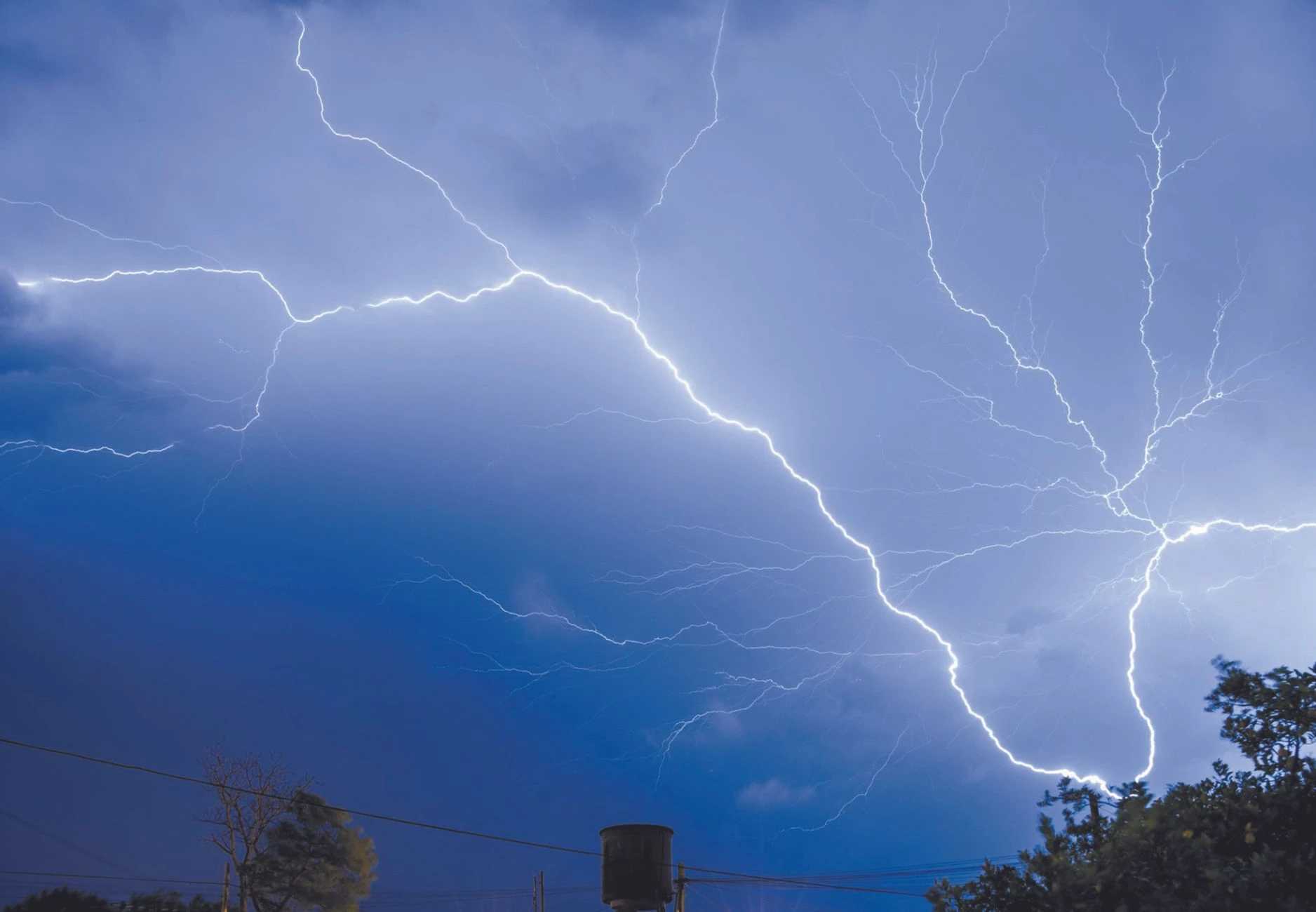
Dangerous summer weather arrived before summer officially began, with severe storms, flash flooding and record heat threatening tens of millions from the Plains to the Pacific Northwest. The threat was not confined to one region or one hazard: damaging winds, hail, tornadoes, flooding and dangerous heat all overlapped, raising the risk of power strain, travel disruptions, outdoor work hazards and household heat emergencies.
The Weather Prediction Center said strong to severe thunderstorms capable of producing damaging winds, large hail and numerous instances of flash flooding were expected to hit the central U.S. today. The National Weather Service said severe storms over parts of the Plains into the Missouri Valley could bring damaging winds, large hail, tornadoes and flooding, and it flagged an Enhanced Risk, level 3 of 5, in the Kansas City and Pleasant Hill forecast area with all severe hazards possible, including heavy rainfall. In practical terms, that means fast-changing road conditions, water-covered streets and a higher chance of storm-related outages where saturated ground and repeated downpours can quickly turn dangerous.
The pattern shifts again on Sunday, when the National Weather Service said scattered severe thunderstorms capable of damaging wind gusts are expected across the Mid-Atlantic. At the same time, hazardous heat is expected to continue across the South, Southwest and central California and build across the Pacific Northwest. The National Weather Service said it typically initiates heat alerts when the heat index is expected to exceed 105 to 110 degrees Fahrenheit for at least two consecutive days, depending on local climate, and its experimental HeatRisk service is designed to put upcoming temperatures in climatological context and identify heat events likely to produce increased impacts.
In Southern California, NWS San Diego has already issued preliminary record-event reports showing heat records broken or tied on June 12, 2026, including Anaheim tying 91 degrees. NOAA’s Climate Prediction Center said El Niño conditions are present and expected to strengthen into the Northern Hemisphere winter 2026-27, while its 6-to-10-day outlook remains the official forecast framework for above-normal, normal or below-normal temperature and precipitation probabilities. NBC News reported that summer has not officially begun, but record-breaking heat is already sweeping parts of the country, a reminder that the season’s worst impacts are arriving early and across multiple fronts.
Sources
- [1]nbcnews.com
- [2]weather.gov
- [3]forecast.weather.gov
- [4]wpc.ncep.noaa.gov
- [5]cpc.ncep.noaa.gov