US News
Texas faces major flood threat as torrential rain swamps Gulf Coast
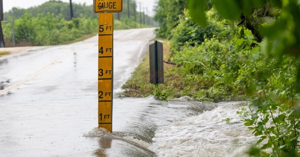
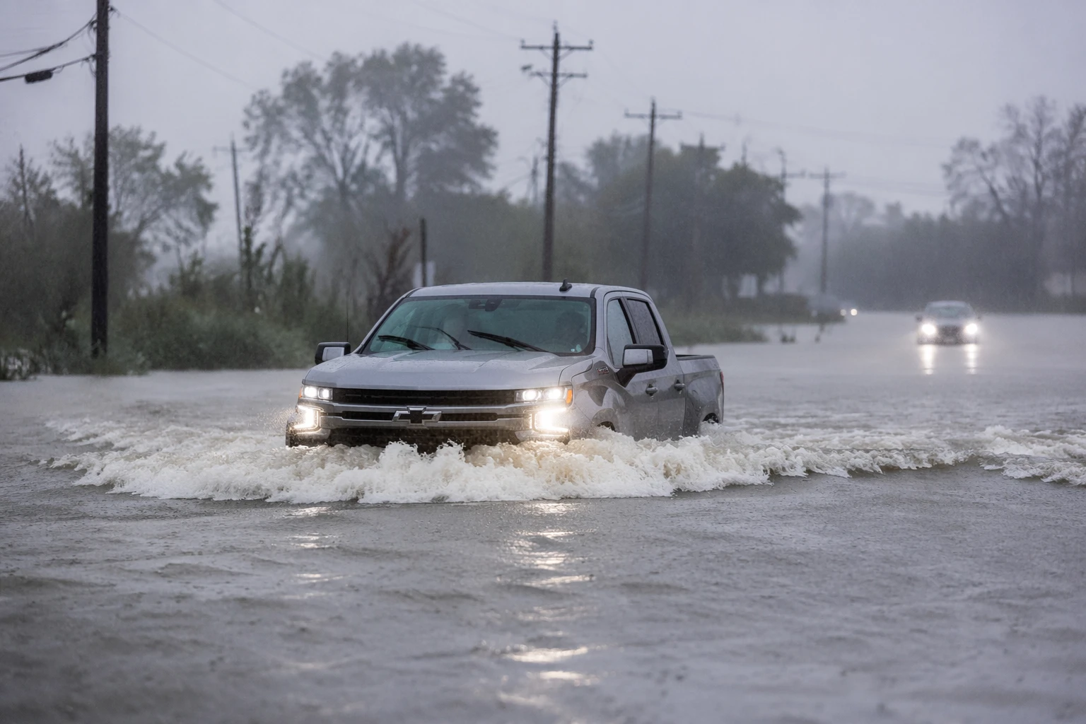
Torrential rain has turned roads across the Texas Gulf Coast into hazards, with stranded motorists, high-water closures and damaged pavement adding urgency to a storm system already threatening millions of people. In parts of Texas, forecasters expected 5 to 10 inches of rain, enough to keep flash flooding on the table through Thursday.
The National Weather Service said excessive rainfall could produce locally considerable flash flooding over parts of South Texas, the western Gulf Coast and the lower Mississippi River Valley. The Weather Prediction Center placed much of the Texas Gulf Coast and Southeast Texas under a Moderate Risk of excessive rainfall for June 16 and 17, citing a tropical disturbance over Deep South Texas that was feeding deep moisture northward and strengthening the usual low-level jet.
In Southeast Texas, the National Weather Service office in Houston and Galveston said a Flood Watch was in effect through Thursday morning. Periods of heavy showers and thunderstorms were expected to continue for several days, leaving communities from Houston and Galveston to surrounding counties facing repeated rounds of runoff on saturated ground.
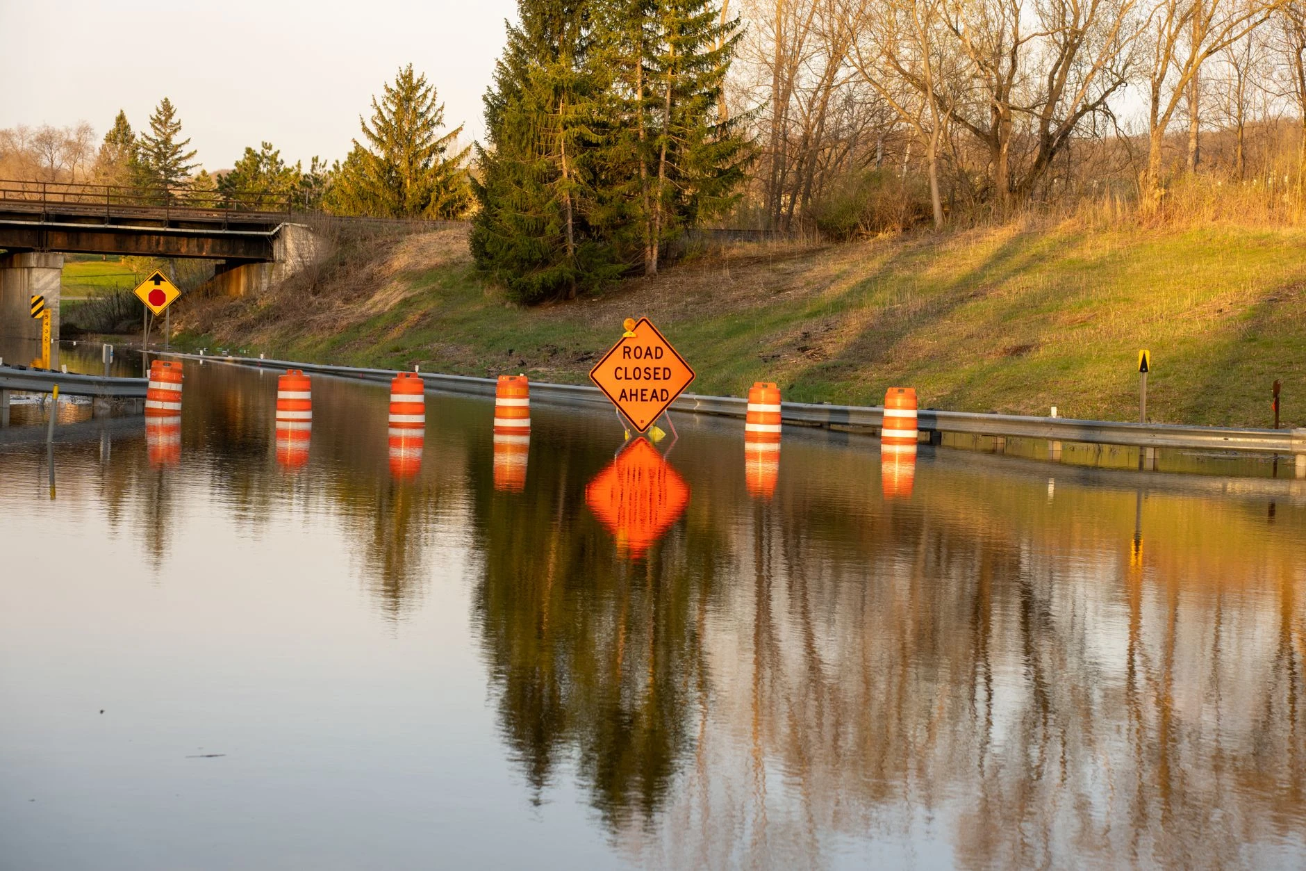
The danger was already showing up on the roads. Texas Department of Transportation traffic updates on DriveTexas and the Houston TranStar traffic map showed active flooding, road closures and high-water impacts, underscoring how quickly even short bursts of intense rain can overwhelm drainage systems. Local and national outlets reported drivers trapped in vehicles and emergency rescues in floodwaters in places including Waco and along Interstate 35, where water climbed into roads and cut off travel.
The broader concern is not only the storm now underway, but what it signals for the region’s ability to absorb repeated extreme rainfall. NWS Fort Worth said hot, humid weather would follow in the middle of the week, then another front late Thursday and Friday could bring more thunderstorm and heavy-rain chances after the immediate threat eases. For counties along the Gulf Coast and inland corridors such as Central Texas, the pattern is a reminder that emergency alerts, drainage networks and road closures are increasingly being tested by storms that arrive fast and dump water faster.