World
UK braces for hotter, more humid third heatwave of the year
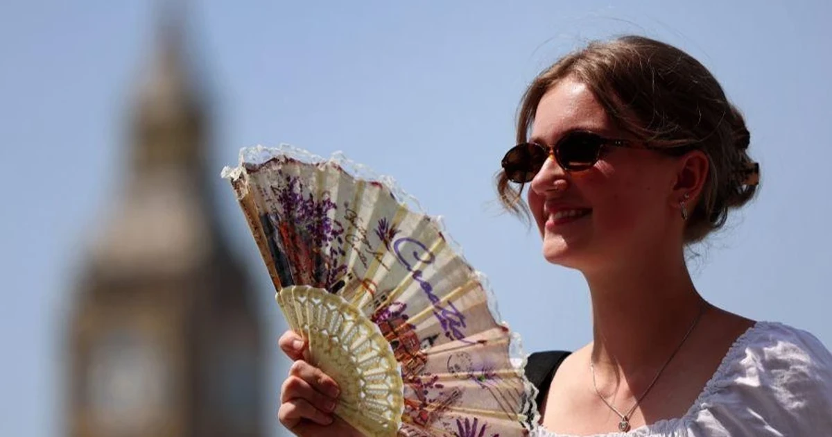
High pressure is driving a hotter, stickier heatwave into Britain. The defining feature will be the combination of humidity and elevated overnight temperatures, not just the afternoon maximum.
Why this heatwave feels different
Under Met Office criteria, a UK heatwave is at least three consecutive days at or above the local threshold, and those thresholds vary by county. The current spell is not simply a nationwide switch to red-hot afternoons; it will build from southern and eastern England into other parts of England and Wales.
Tropical nights, when temperatures do not fall below 20C, are likely in some urban areas and will leave the air feeling much more oppressive than the drier heat that often accompanies earlier summer hot spells. The body gets less chance to recover overnight, and the city heat island effect makes that harder still.
How it compares with the late-June heatwave
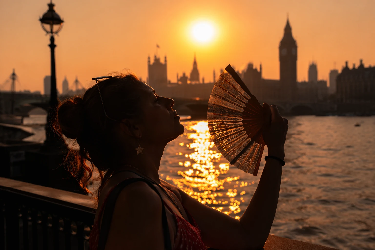
The late-June hot spell produced the summer’s headline number: a provisional June maximum of 37.7C at Lingwood in Norfolk. That event also came with high humidity and an unusually warm night, including a new high daily minimum of 23.5C. The July spell is expected to be different in scale and texture, with peak temperatures around 35C on Tuesday and Wednesday, and a lower chance of matching the June extreme.
It is also likely to be shorter-lived and more changeable than the late-June period. Fresher Atlantic air should begin to reassert itself later in the week, with thunderstorms possible as the hot weather breaks up from the west.
Where the heat will bite hardest
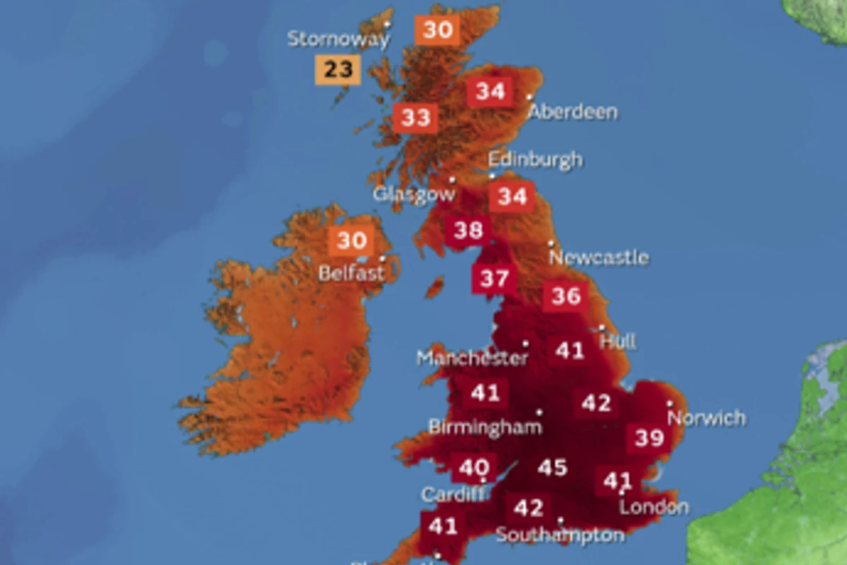
The warmest air is expected to spread from southern and eastern England into other parts of England and Wales. The UK does not experience these events uniformly; inland areas, built-up centres, and places already holding onto heat after sunset can feel much more severe than the map of daytime highs suggests.
Nighttime temperatures are also likely to remain elevated in urban areas, especially where local conditions keep the air trapped and slow the overnight cooling. The most uncomfortable period may be the long stretch between dusk and sunrise, when tropical nights leave little relief before the next day’s heat builds again.
Health services and infrastructure are already under strain
The UK Health Security Agency issued Yellow and Amber Heat Health Alerts during the late-June heatwave. The main concerns this time are health impacts, transport disruption, energy strain, and water safety. Each of those risks rises when heat is paired with humidity and when temperatures stay high through the night.
Transport systems can overheat, tracks can buckle, and services slow down when infrastructure is pushed beyond its comfort zone. Energy demand also rises as cooling needs increase, while water safety becomes more prominent when people seek relief in rivers, reservoirs, and coastal waters. With this spell, the stress is not confined to a few blazing afternoon hours; warm nights extend the pressure across the full 24-hour cycle.
What the 1976 comparison really shows
Met Office data show that in 1976, the UK had 15 consecutive days when somewhere in the country exceeded 32C, while 2026 has had 10 such days so far, not consecutively. The older summer was generally drier and more prolonged; this one has already been more humid, with more intense bursts and warmer nights.
Met Office records show that three consecutive days reaching 35C are rare in the UK and have only occurred a handful of times, including June 1976, August 1990, and August 2020.
Sources
- [1]bbc.co.uk
- [2]metoffice.gov.uk
- [3]uk.news.yahoo.com