World
UK forecast turns more unsettled, but heatwave risk remains

The Met Office is calling for a mostly dry start to 21-30 July, but it also sees parts of southern England turning very warm again before a more unsettled, showery spell brings thunderstorm risk. Temperatures are expected to sit around or just above average for most of the UK, with cooler, cloudier and wetter conditions most likely in the northwest and a few isolated showers reaching farther south at times.
The wider UK long-range forecast, which runs to Friday 14 August, starts the same way: largely dry weather before a shift to more changeable conditions. The trend matters because it does not point to a clean end to the heat. The Met Office has already said summer 2026 has featured three distinct heatwaves, with frequent temperatures into the mid 30s, and its June heatwave recap described an earlier record-breaking hot spell.
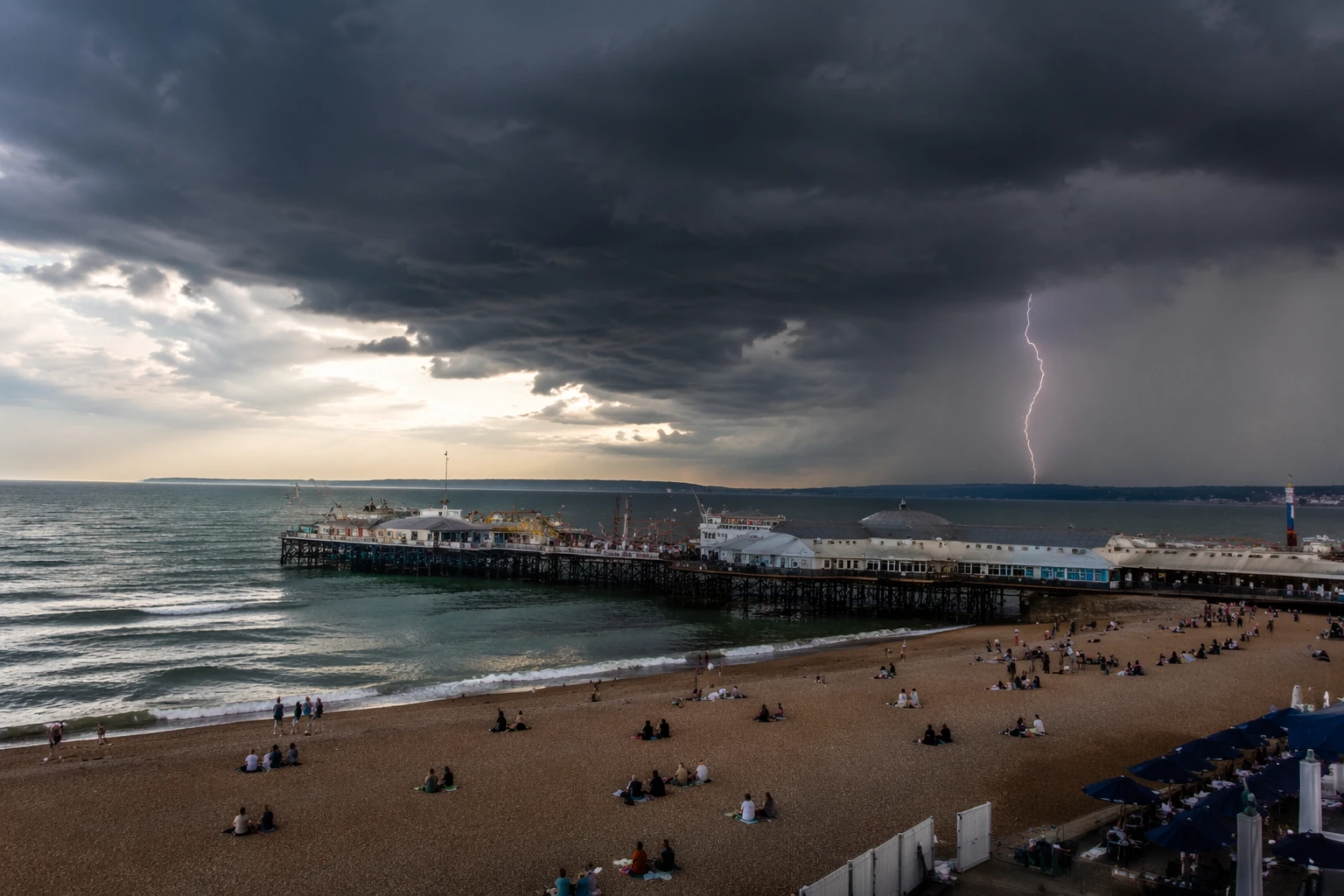
That background helps explain why a wetter pattern is not the same thing as a low-risk one. BBC Weather said places in southern England had logged 13 consecutive days above heatwave criteria, while the UK recorded 12 consecutive days at or above 30C, the longest such spell since 2006. BBC Weather also reported mains water supply issues in south-east England during the record-breaking heatwave at the end of May, when high demand put pressure on supplies.
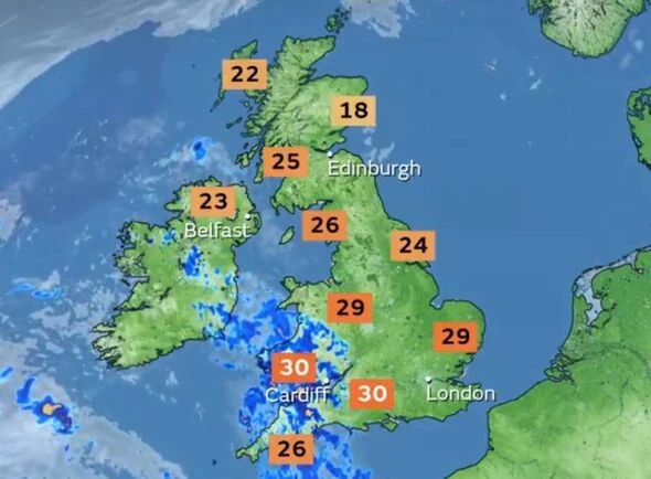
For households, the next few weeks carry two separate hazards. Hot spells can return quickly in the south, while a more unsettled pattern raises the chance of intense downpours and thunderstorms that can flood roads, overwhelm drains and cause local disruption even if the national picture looks mixed. The Met Office has also warned in its summer outlook coverage that the UK has an increased likelihood of a warm summer and further heatwaves, so showers later in the month may be interrupted by another burst of heat rather than a settled cool-down.
The practical message is to plan for both. Water use can tighten quickly when temperatures jump, especially after a dry spell, and sudden storms can turn a short-lived shower into surface flooding in minutes. Late July may look less one-sided than the heatwaves that have already marked the season, but the heat risk has not gone away.
Sources
- [1]bbc.co.uk
- [2]weather.metoffice.gov.uk
- [3]metoffice.gov.uk
- [4]bbc.com