Politics
Virginia Democrats Unveil Controversial 10–1 Congressional Map, Redrawing State’s Political Landscape
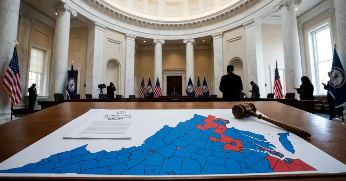
Virginia Democrats have unveiled their long-anticipated 10–1 congressional map, marking a pivotal moment in the state’s political trajectory and igniting discussions about the future balance of power in Washington. The new map, released this week, dramatically reshapes the state’s congressional boundaries, potentially giving Democrats a significant advantage in upcoming elections.
What the 10–1 Map Means for Virginia’s Representation
The newly proposed map divides Virginia into eleven congressional districts, with boundaries drawn in a way that could enable Democrats to win up to ten of those seats. This substantial shift intends to reflect demographic changes and population shifts recorded in the latest census data, while also responding to long-standing calls for more representative district lines.
- 10–1 split: The proposed map creates ten districts likely to elect Democrats and one that favors Republicans.
- Long-awaited release: The map’s debut follows months of advocacy, debate, and anticipation among lawmakers and constituents.
Political and Legal Implications
Observers note that the 10–1 configuration represents a significant realignment from previous maps, prompting questions about the fairness and competitiveness of future races. The release comes amid ongoing national conversations about gerrymandering—the process of drawing districts to advantage one party—and could face legal scrutiny from opponents who argue it dilutes the voting power of minority or opposition groups.
Proponents argue that the new map corrects historic imbalances and empowers communities that have been underrepresented in Congress. Critics, however, warn that such a lopsided split may undermine the principles of fair representation and could be challenged in court.
What Comes Next?
The release of the map is only the beginning of the process. The proposal will undergo review and could face challenges from both political adversaries and advocacy groups. The final boundaries must be approved before taking effect for the next congressional election cycle.
- State and federal courts may be asked to weigh in on the map’s legality.
- Both parties are expected to mobilize their bases to respond to the new district lines.
- Potential impact on national House control, as Virginia’s delegation plays a key role in narrow Congressional majorities.
Looking Ahead
As the debate unfolds, all eyes will be on Virginia to see how the new map shapes the state’s political future and influences the national conversation on redistricting. The coming weeks promise vigorous discussion, legal review, and strategic maneuvering as stakeholders on all sides respond to this landmark proposal.