World
Wales wildfires burn 951 hectares as crews battle heatwave blazes
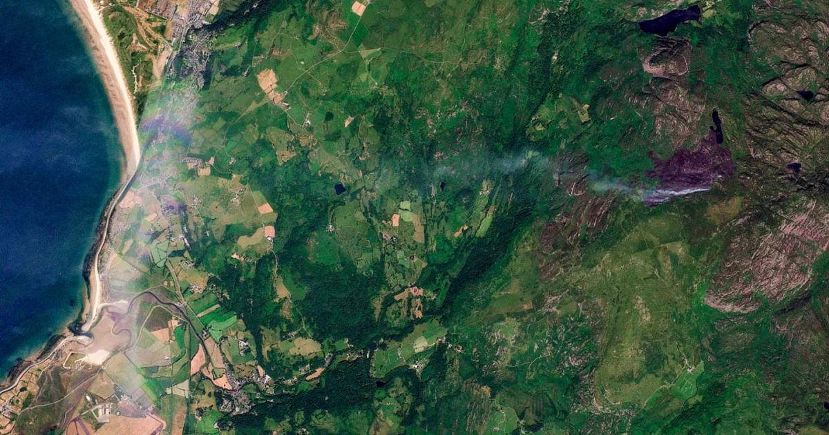
BBC Verify estimated that 951 hectares of the Rhinogydd mountains had burned, putting hard numbers on a blaze that spread through remote terrain near Harlech as crews battled a run of heatwave-fuelled fires across Wales. The scale matters because it shows how wildfire monitoring is changing: satellite detection and post-fire analysis are now tracking damage across steep uplands that ground crews cannot easily survey.
Natural Resources Wales said the Rhinogydd wildfire was first reported on 12 July and was affecting a remote mountain area that includes highly protected habitats designated as a Site of Special Scientific Interest. That makes the fire more than a firefighting problem. It also threatens an ecologically sensitive landscape where access is difficult, visibility can be limited and each additional day of burning increases the strain on both crews and habitat recovery.
The Welsh government activated crisis management arrangements as wildfires multiplied across the country. Residents criticised the lack of helicopters and other resources to tackle the fires, while the government said North Wales Fire and Rescue Service had received extra resources and that aerial support was not available anywhere in the UK at the time. The gap between the size of the fire and the tools available to contain it has become part of the story, especially in places where roads are sparse and mountain ground is too rough for rapid containment.
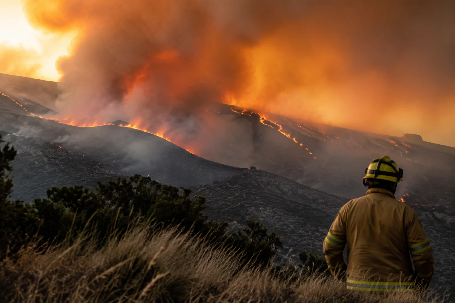
Phil Garrigan, chair of the National Fire Chiefs Council, said firefighters were facing “extreme pressure” during the prolonged heatwave, with around 19 fires still active across the UK. That pressure was visible in Wales, where a BBC report said wildfires were beginning to stabilise after crews had worked for several days to bring them under control, and some incidents needed reinspection after a quieter night.
The risk was not abstract for communities near the fire line. In one separate Welsh mountain blaze, people could hear and smell the fire before they could see it, and one family was forced to leave home. A social media post suggested the Rhinogydd fire had swallowed about 2,000 acres, but the verified satellite estimate of 951 hectares gives a more precise measure of the damage and a clearer warning about what happens when extreme heat meets dry upland terrain.
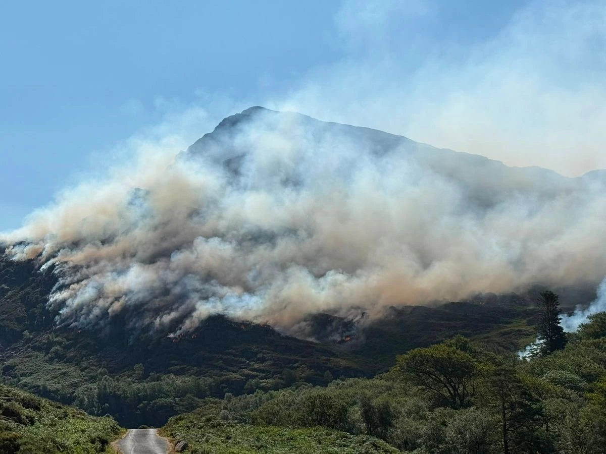
The practical lesson from the Rhinogydd fire is stark: Wales is confronting wildfires at a scale that now demands faster detection, more resilient aerial support and land management that accounts for hotter, drier spells reaching deep into protected mountain country.
Sources
- [1]bbc.co.uk
- [2]bbc.com
- [3]naturalresourceswales.gov.uk
- [4]facebook.com
- [5]instagram.com