World
Why sudden squalls still beat weather models
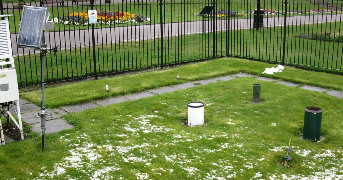
Weston Park weather station in Sheffield recorded 176 mm of rain in July, more than double the 65 mm average. Weather forecasts are far better than they used to be, yet the most disruptive weather still has a way of slipping past the models. The gap shows up most clearly when heat, flooding, wind and sudden rain intensify quickly, which is why some forecasters still lean on local pattern recognition when computer output looks too smooth to trust.
Why the models keep improving, but not enough
The basic story in forecasting is progress without perfection. A four-day forecast today is as accurate as a one-day forecast 30 years ago, Our World in Data found, a striking measure of how much numerical weather prediction has advanced. The Met Office called a new scientific model upgrade on its new supercomputer a major step forward for UK weather forecasting accuracy, its first major science upgrade to operational weather modelling in more than three years.
By February 10, 2026, the start of the year had already been marked by extreme heat, cold, precipitation and fires, the World Meteorological Organization said, stressing the importance of accurate, timely forecasts and investment in early warning systems.
Where the hardest misses still happen
The largest forecast errors still cluster around extremes. Researchers said in a University of Chicago podcast on April 2, 2026, that extreme events such as heat waves, hurricanes and floods are among the hardest weather events for traditional forecasting to predict. Those are exactly the events that create the highest financial losses, the most emergency calls and the sharpest pressure on infrastructure.
A 2026 paper in Nature Hazards and Earth System Sciences looked at how seasonal forecasts might improve understanding of extreme wind and precipitation impacts from extratropical cyclones.
Why local pattern recognition still has value
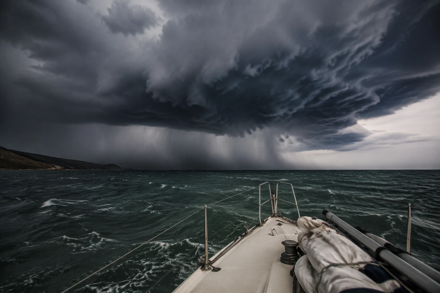
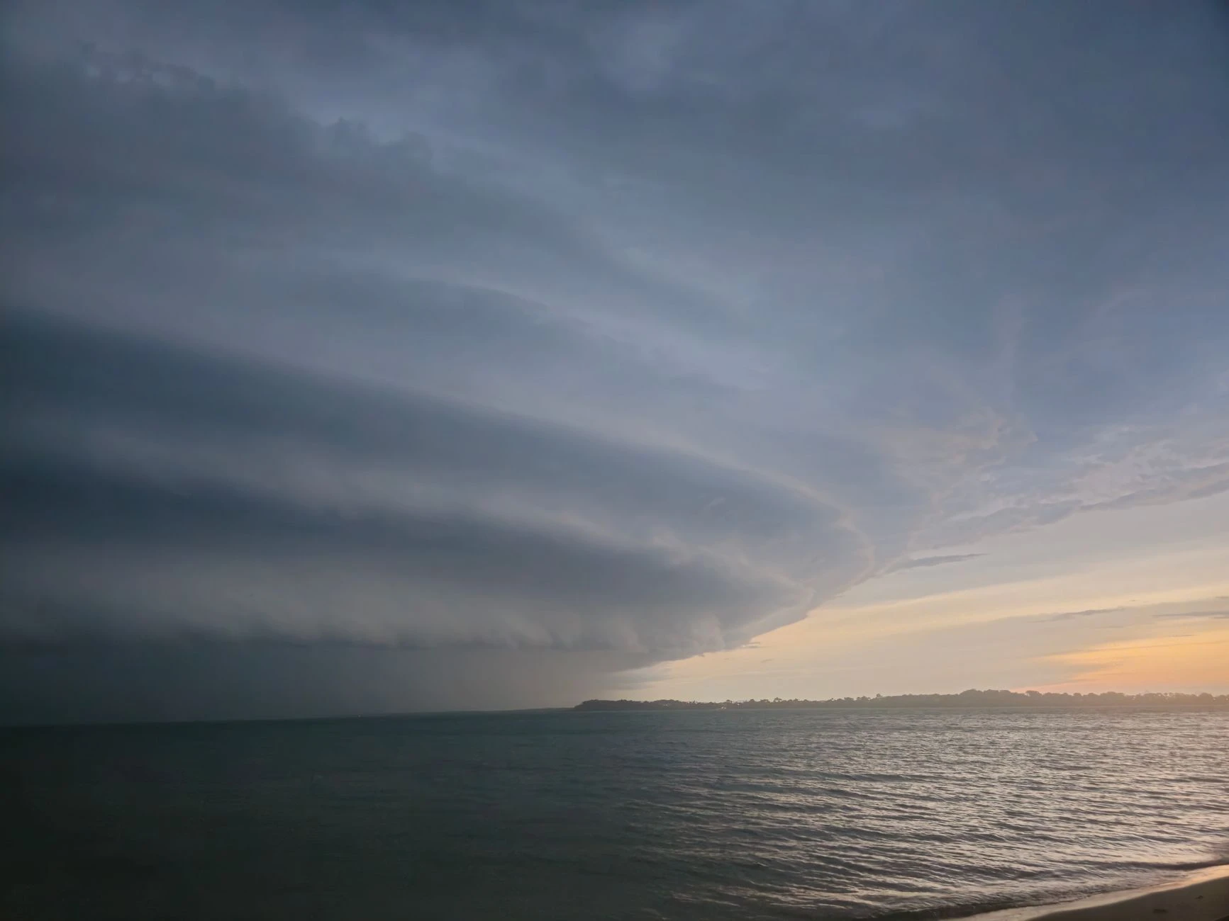
This is the part of forecasting that does not fit neatly into a supercomputer cycle. Natural forecasters often build intuition from local cloud shapes, wind shifts, terrain, sea breezes and the way one neighborhood behaves differently from the next. That kind of pattern recognition can be especially useful for sudden squalls, when a model may capture the broad setup but miss the exact moment rain or wind accelerates over a small area.
Local observation can fill a narrow but important gap, especially when the atmosphere is changing faster than the model resolution can fully resolve. In practice, the best forecast often blends high-powered numerical output with human judgment about what the landscape and recent weather are already signaling.
What climate volatility changes
Climate-driven volatility raises the stakes because old assumptions are less dependable. A forecast that works well on an average day can feel less useful when rainfall, heat and fire risk all arrive in more erratic bursts. Early warning systems matter as much as the model itself: the value of a forecast increasingly depends on how quickly it reaches people who need to act.
Better sensors, better computing and better communication all matter, but they work best together. Forecasting accuracy is only part of the problem; the other part is whether emergency planners, utilities, transport operators and businesses can turn a warning into action before the weather turns severe.
Sheffield shows how local surprise still overwhelms expectations
The scale of the problem becomes easier to see in one city. Sheffield had just experienced its second wettest July on record.
A second wettest July on record can force drainage systems, event planning, commuting, retail logistics and emergency response out of routine.
How to read a forecast more realistically now
The practical way to use forecasts is to separate the parts they do well from the parts they still struggle with. They are strongest at showing broad patterns, timing windows and overall risk levels. They are weaker when the question is whether one street, one valley or one hour will get hit by the sharpest burst.
A useful forecast checklist is simple:
• Trust model consensus when several systems point in the same direction. • Pay extra attention when local observers mention fast-changing cloud, wind or humidity. • Treat extreme-event timing with caution, especially for heat waves, hurricanes and floods. • Use early warning systems as decision tools, not just background information. • Compare a forecast with local averages to judge how unusual the event really is.
Forecasting has a long memory, but the future is still the challenge
The Royal Meteorological Society documented the evolution of weather forecasting from weather charts in 1861 to monthly predictions, showing how much the field has expanded from handwritten analysis to large-scale numerical systems. A 1984 article from the University of Alaska Fairbanks captured the frustrations of weather prediction decades ago.
Sources
- [1]nytimes.com
- [2]wmo.int
- [3]metoffice.gov.uk
- [4]ourworldindata.org
- [5]news.uchicago.edu
- [6]nhess.copernicus.org
- [7]bbc.com
- [8]rmets.org
- [9]gi.alaska.edu
- [10]npr.org
- [11]physicalsciences.uchicago.edu