World
Yves Lacoste exposed U.S. bombing of North Vietnam's flood defenses

Yves Lacoste died June 20, 2026, at 96, after a career that used geography to puncture wartime denial. In 1972, the French geographer drew on firsthand observation, mapping and the integrated analysis of physical and human factors to document U.S. bombing in North Vietnam’s Red River Delta, where civilian flood defenses and rice-growing land were under threat.
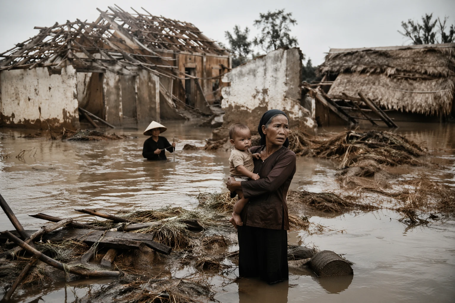
The target was not abstract terrain. Lacoste focused on the dike and canal system that managed the Red River’s wet-season flooding, a network essential to protecting dense agricultural areas and the civilians who depended on them. Georgetown University Library preserves a 15-page paper and map on the vulnerability of the Red River dike system. Later research notes that from April 16 to July 31, 1972, more than 150 attacks were made on North Vietnam’s canal system, causing heavy damage in 96 places.
That damage carried a human cost far beyond the engineering itself. One account of the period says Secretary of State Henry Kissinger estimated that flooding could kill 200,000 people. Lacoste’s analysis argued that the bombing amounted to what he called “geographical warfare,” exposing a strategy aimed at coercing Hanoi by threatening civilian life, food supplies and the infrastructure that kept the delta habitable.
His work entered the wider anti-Vietnam War debate in France and later drew scholarly comparisons with Hannah Arendt’s critique of “lying in politics.” Lacoste returned to the subject in 1973 with “An Illustration of Geographical Warfare: Bombing the Dikes on the Red River, North Vietnam,” a text that helped make the episode a case study in how political power can hide inside technical language. French press accounts later described Lacoste as a foundational figure in French geopolitics and the founder of Hérodote.
Lacoste’s method looks modern now because it anticipated it. Satellite imagery, open-source intelligence and geolocated damage assessments all rely on the same principle he used in 1972: combine physical evidence with human consequences, and the official story becomes harder to sustain. In North Vietnam, a map became an indictment of attacks on civilian infrastructure.