US News
Tropical Storm Arthur forms off Texas coast, threatens dangerous flooding
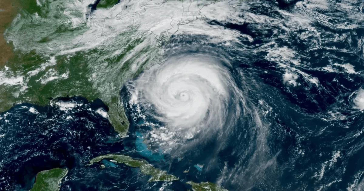
Tropical Storm Arthur put the Texas Gulf Coast on alert Wednesday as the first named storm of the 2026 Atlantic hurricane season, with forecasters warning that the immediate danger was life-threatening flash flooding. The system formed off the Gulf Coast of Texas after being tracked as Potential Tropical Cyclone One, and by midday it was still a weak but slow-moving storm that could dump dangerous rain from coastal Texas into Louisiana.
Earlier in the day, Arthur was about 65 miles southwest of Corpus Christi, with maximum sustained winds near 30 mph and movement of about 6 mph toward the northeast. The National Hurricane Center said the storm was expected to move along the Texas coast into southern Louisiana through Wednesday night before weakening farther inland, while marine warnings and local advisories remained in place for the broader Gulf region.
A Tropical Storm Warning covered the stretch from Sabine Pass, Texas, to Morgan City, Louisiana, and a Tropical Storm Watch extended from Sargent, Texas, to Sabine Pass. Forecasters said the storm’s main effects would be heavy rain, flooding, rip currents and gusty winds, with the greatest concern centered on flash flooding in low-lying communities and places already vulnerable to water buildup along the coast.

Texas officials moved quickly as the storm approached. Governor Greg Abbott directed the Texas Division of Emergency Management to activate additional state emergency response resources, and the State Emergency Operations Center shifted to 24-hour operations because of the widespread flooding threat. More than 40 million people across the Gulf Coast were said to be bracing for record rain, a sign of how even a weak tropical system can strain drainage systems, emergency crews and road networks across a densely populated coastal corridor.
Arthur also arrived against the backdrop of a season NOAA had already judged likely to be below normal, with a 55% chance of below-normal activity and a forecast range of 8 to 14 named storms, 3 to 6 hurricanes and 1 to 3 major hurricanes. That outlook, however, did little to soften the immediate risk for Texas and Louisiana. The Atlantic season runs from June 1 through November 30, and Arthur’s quick formation underscored how early-season storms can still hit hard when they stall near shore.

The name Arthur has appeared before in Atlantic history. The 2014 Hurricane Arthur became the earliest hurricane to hit North Carolina on record and the first Category 2 hurricane to make U.S. landfall since Hurricane Ike in 2008. This year’s Arthur was far weaker, but its warning for the Texas coast was clear: the first named storm was less a wind event than a test of drainage, preparedness and coastal resilience.
Sources
- [1]cbsnews.com
- [2]nhc.noaa.gov
- [3]noaa.gov
- [4]gov.texas.gov
- [5]weather.gov
- [6]thesheffieldpress.com
- [7]fox13news.com